MyTopo
Tilden Nebraska US Topo Map
Couldn't load pickup availability
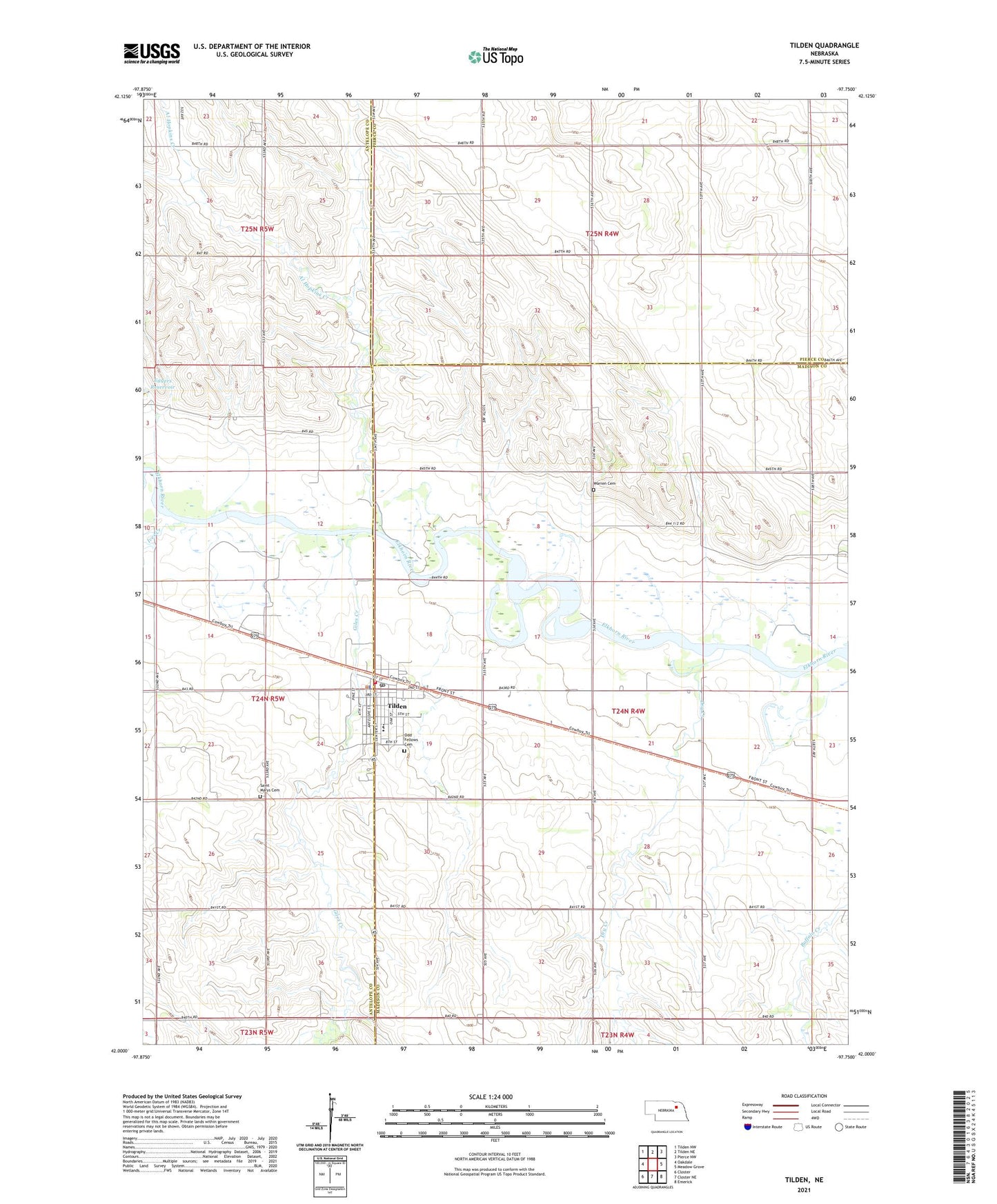
2021 topographic map quadrangle Tilden in the state of Nebraska. Scale: 1:24000. Based on the newly updated USGS 7.5' US Topo map series, this map is in the following counties: Madison, Antelope, Pierce. The map contains contour data, water features, and other items you are used to seeing on USGS maps, but also has updated roads and other features. This is the next generation of topographic maps. Printed on high-quality waterproof paper with UV fade-resistant inks.
Quads adjacent to this one:
West: Oakdale
Northwest: Tilden NW
North: Tilden NE
Northeast: Pierce NW
East: Meadow Grove
Southeast: Emerick
South: Closter NE
Southwest: Closter
Contains the following named places: Al Hopins Creek, Barr Clinic, Central Farmers Cooperative Elevator, Church of Christ, City of Tilden, Dry Creek, East City Park, Eggers Dam, Eggers Reservoir, Elkhorn Valley Schools, Elm Grove School, Enterprise School, Faith United Methodist Church, Flag School, Giles Creek, Immanuel Lutheran Church, Ives Creek, Our Lady of Mount Carmel Church, Peace United Church of Christ, River View Stock Farm, Saint Marys Cemetery, School Number 18, School Number 5, Tilden, Tilden Community Hospital, Tilden Dental Clinic, Tilden East Park Campground, Tilden Nature Trail, Tilden Nursing Center, Tilden Police Department, Tilden Post Office, Tilden Public Library, Tilden Volunteer Fire Department, Township of Jefferson, Valley View School, Warren Cemetery, ZIP Code: 68781