MyTopo
Trumbull Lake Nebraska US Topo Map
Couldn't load pickup availability
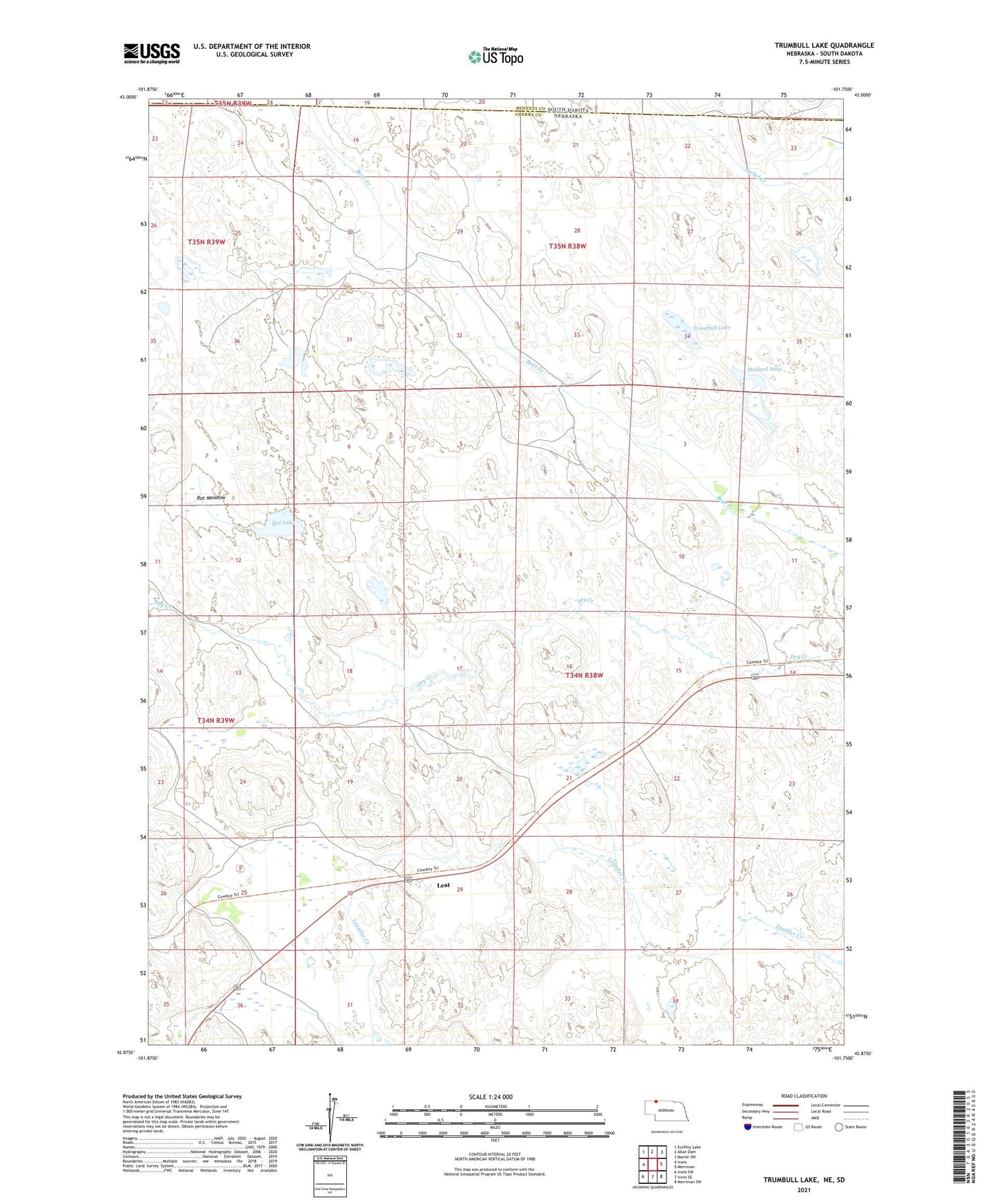
2021 topographic map quadrangle Trumbull Lake in the state of Nebraska. Scale: 1:24000. Based on the newly updated USGS 7.5' US Topo map series, this map is in the following counties: Cherry, Bennett. The map contains contour data, water features, and other items you are used to seeing on USGS maps, but also has updated roads and other features. This is the next generation of topographic maps. Printed on high-quality waterproof paper with UV fade-resistant inks.
Quads adjacent to this one:
West: Irwin
Northwest: Ecoffey Lake
North: Allan Dam
Northeast: Martin SW
East: Merriman
Southeast: Merriman SW
South: Irwin SE
Southwest: Irwin SW
Contains the following named places: Bear Creek Ranch, Beyersdorf Ranch, Leat, Leat Post Office, Mallard Lake, McConaughey Ranch, Nielsen Ranch, Punta de Flecha Ranch, Rat Lake, Rat Meadow, School Number 124, Skinner Ranch, Trumbull Lake, Wiley Ranch