MyTopo
White Cap Hill Nebraska US Topo Map
Couldn't load pickup availability
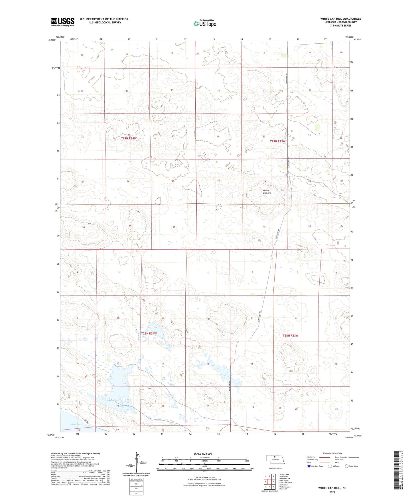
2021 topographic map quadrangle White Cap Hill in the state of Nebraska. Scale: 1:24000. Based on the newly updated USGS 7.5' US Topo map series, this map is in the following counties: Brown. The map contains contour data, water features, and other items you are used to seeing on USGS maps, but also has updated roads and other features. This is the next generation of topographic maps. Printed on high-quality waterproof paper with UV fade-resistant inks.
Quads adjacent to this one:
West: Harr Valley
Northwest: Brush Creek
North: Johnstown
Northeast: Ainsworth SW
East: Lost Lake Ranch
Southeast: Raven SW
South: Philbrick Lake
Southwest: Skull Lake
This map covers the same area as the classic USGS quad with code o42100d1.
Contains the following named places: A Gudgel Ranch, Alkali Lake, Allen Ranch, Baldwin Camp, Hershiser Ranch, John Ranch, Johnson Ranch, Johnstown Election Precinct, Lake Ranch, McDaniel Ranch, Moon Lake, O'Hara Ranch, School Number 41, School Number 44, School Number 6, W Gudgel Ranch, White Cap Hill