MyTopo
Bartomes Spring Nevada US Topo Map
Couldn't load pickup availability
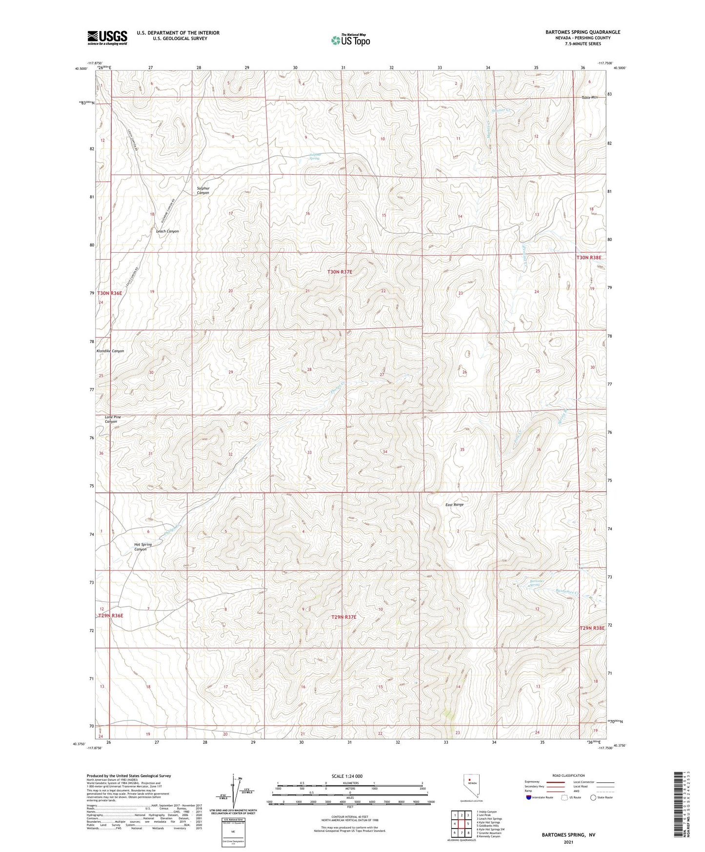
2021 topographic map quadrangle Bartomes Spring in the state of Nevada. Scale: 1:24000. Based on the newly updated USGS 7.5' US Topo map series, this map is in the following counties: Pershing. The map contains contour data, water features, and other items you are used to seeing on USGS maps, but also has updated roads and other features. This is the next generation of topographic maps. Printed on high-quality waterproof paper with UV fade-resistant inks.
Quads adjacent to this one:
West: Kyle Hot Springs
Northwest: Inskip Canyon
North: Lee Peak
Northeast: Leach Hot Springs
East: Goldbanks Hills
Southeast: Kennedy Canyon
South: Granite Mountain
Southwest: Kyle Hot Springs SW
This map covers the same area as the classic USGS quad with code o40117d7.
Contains the following named places: Bartomes Spring, Hot Spring Canyon, Leach Canyon, Lone Pine Canyon, Sooner Creek, Spring Branch, Sulphur Canyon, Sulphur Spring