MyTopo
Grass Valley Ranch Nevada US Topo Map
Couldn't load pickup availability
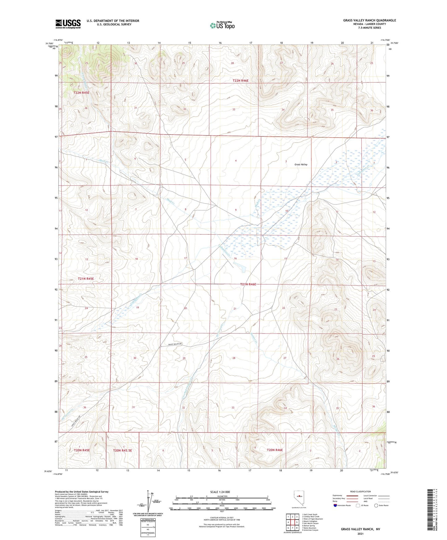
2021 topographic map quadrangle Grass Valley Ranch in the state of Nevada. Scale: 1:24000. Based on the newly updated USGS 7.5' US Topo map series, this map is in the following counties: Lander. The map contains contour data, water features, and other items you are used to seeing on USGS maps, but also has updated roads and other features. This is the next generation of topographic maps. Printed on high-quality waterproof paper with UV fade-resistant inks.
Quads adjacent to this one:
West: Mount Callaghan
Northwest: Hall Creek South
North: Cowboy Rest Creek
Northeast: West of Fagin Mountain
East: Salt Marsh Canyon
Southeast: Ackerman Canyon
South: Bates Mountain
Southwest: Barton Spring
This map covers the same area as the classic USGS quad with code o39116f7.
Contains the following named places: Crooked Canyon Creek, Grass Valley, Grass Valley Post Office, Grass Valley Ranch, North Fork Skull Creek, Ox Corral Creek, Skull Creek, Spencer, Spencer Post Office, Steiner Creek