MyTopo
Bedell Flat Nevada US Topo Map
Couldn't load pickup availability
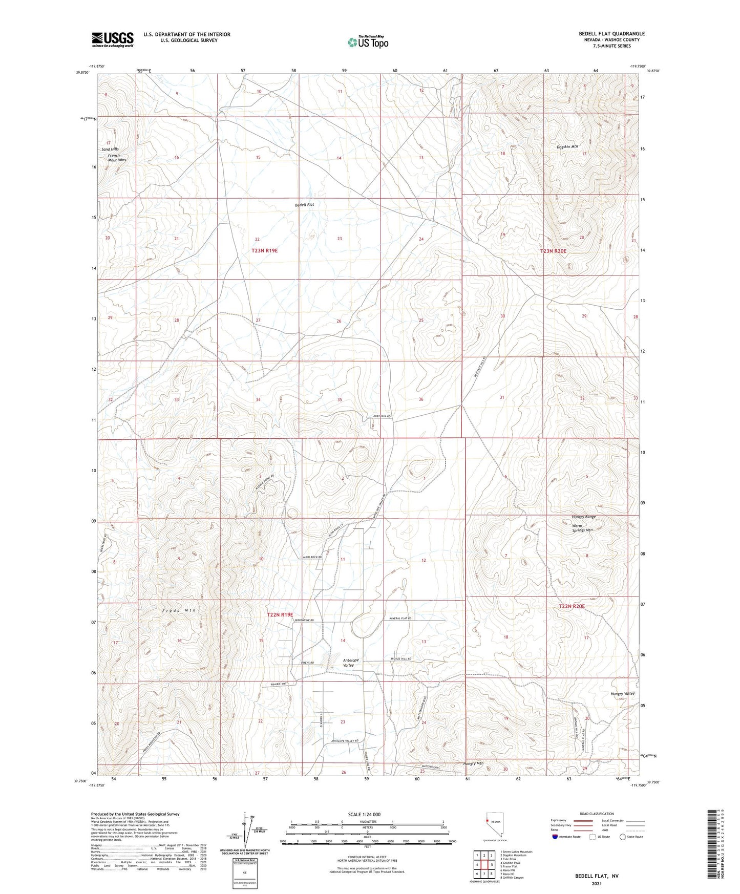
2023 topographic map quadrangle Bedell Flat in the state of Nevada. Scale: 1:24000. Based on the newly updated USGS 7.5' US Topo map series, this map is in the following counties: Washoe. The map contains contour data, water features, and other items you are used to seeing on USGS maps, but also has updated roads and other features. This is the next generation of topographic maps. Printed on high-quality waterproof paper with UV fade-resistant inks.
Quads adjacent to this one:
West: Granite Peak
Northwest: Seven Lakes Mountain
North: Dogskin Mountain
Northeast: Tule Peak
East: Fraser Flat
Southeast: Griffith Canyon
South: Reno NE
Southwest: Reno NW
This map covers the same area as the classic USGS quad with code o39119g7.
Contains the following named places: Antelope Valley, Bedell Flat, Dry Lake, Francis, Freds Mountain, Hungry Mountain, Hungry Range, Nashville, Warm Springs Mountain