MyTopo
Big Hard Pan Nevada US Topo Map
Couldn't load pickup availability
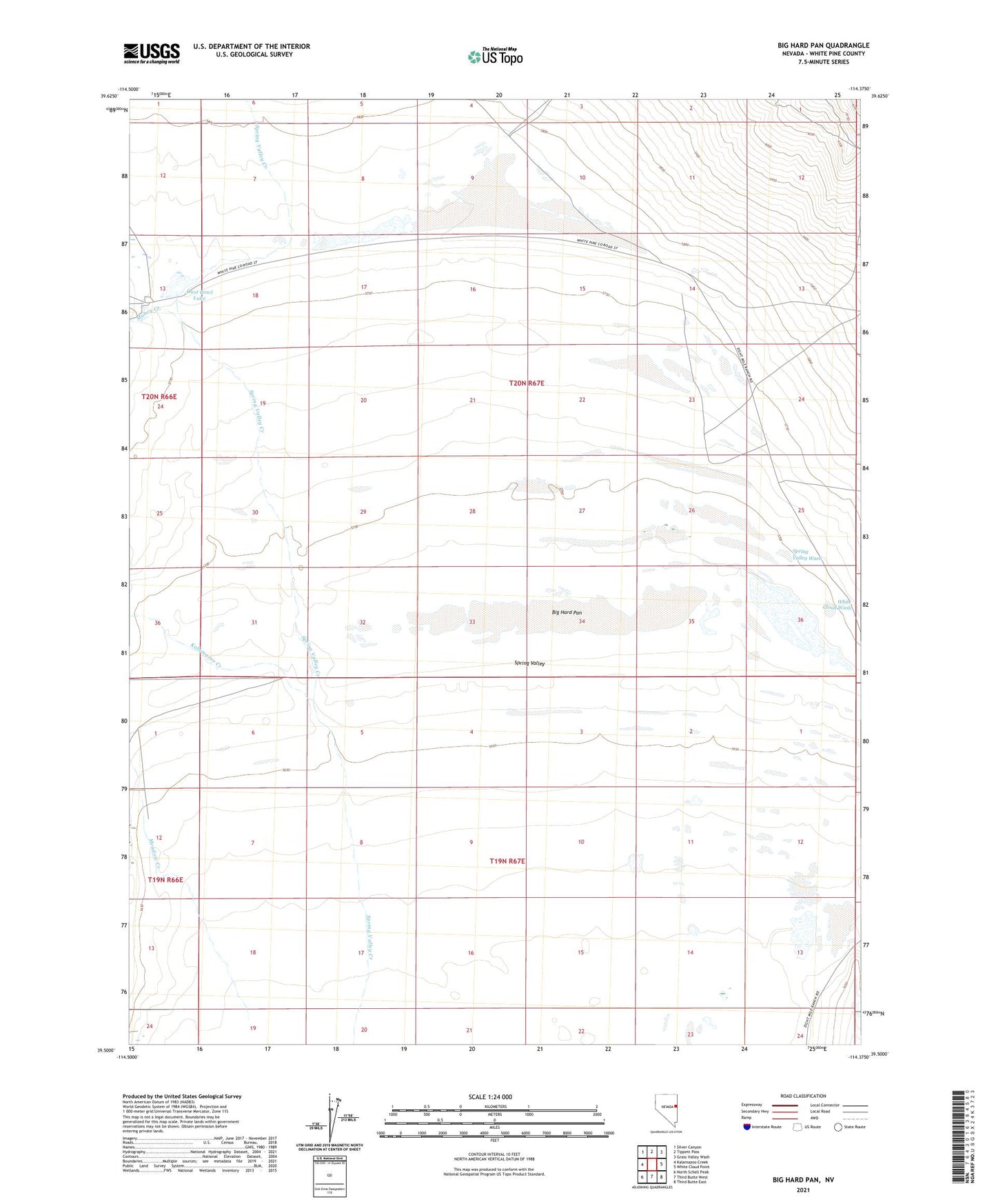
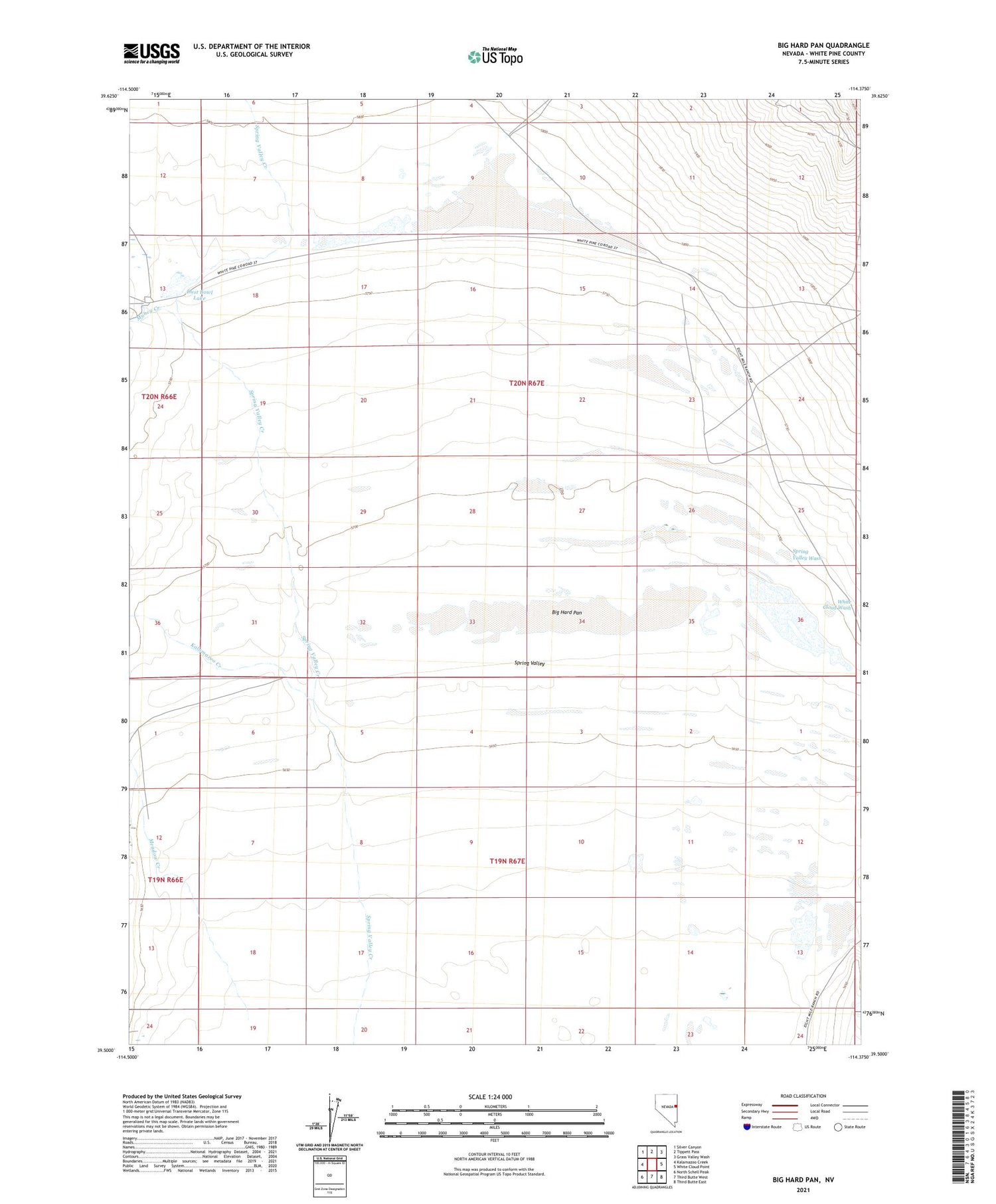
2021 topographic map quadrangle Big Hard Pan in the state of Nevada. Scale: 1:24000. Based on the newly updated USGS 7.5' US Topo map series, this map is in the following counties: White Pine. The map contains contour data, water features, and other items you are used to seeing on USGS maps, but also has updated roads and other features. This is the next generation of topographic maps. Printed on high-quality waterproof paper with UV fade-resistant inks.
Quads adjacent to this one:
West: Kalamazoo Creek
Northwest: Silver Canyon
North: Tippett Pass
Northeast: Grass Valley Wash
East: White Cloud Point
Southeast: Third Butte East
South: Third Butte West
Southwest: North Schell Peak
Contains the following named places: Big Hard Pan, Doutre Henriod Well, Dust Bowl Lake, Eldridge Well, Kalamazoo Creek, Meadow Creek, Muncy Creek, Spring Valley Wash, Spring Valley Wash Dam, White Cloud Wash, Yelland Well