MyTopo
Buffalo Summit Nevada US Topo Map
Couldn't load pickup availability
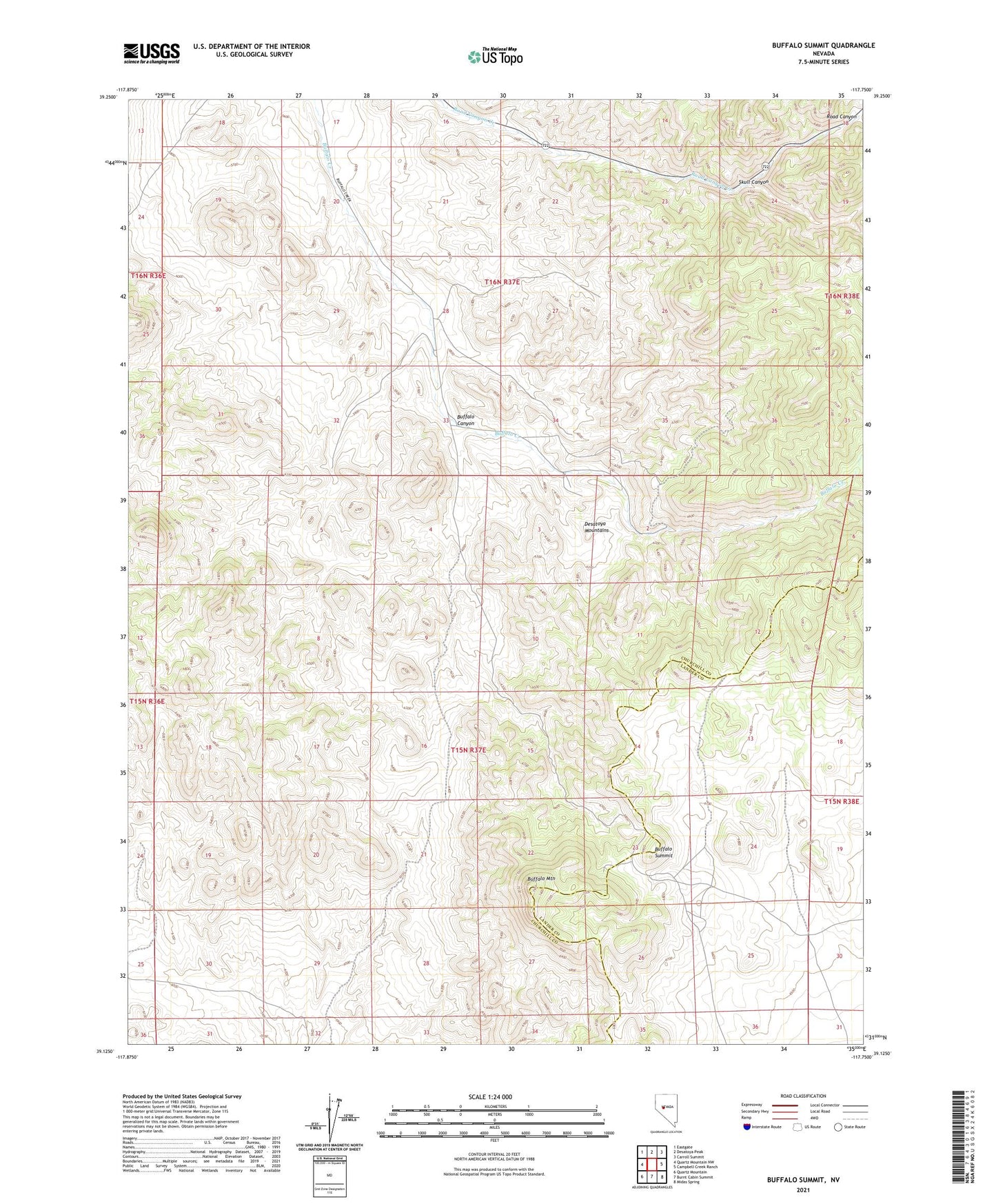
2021 topographic map quadrangle Buffalo Summit in the state of Nevada. Scale: 1:24000. Based on the newly updated USGS 7.5' US Topo map series, this map is in the following counties: Churchill, Lander. The map contains contour data, water features, and other items you are used to seeing on USGS maps, but also has updated roads and other features. This is the next generation of topographic maps. Printed on high-quality waterproof paper with UV fade-resistant inks.
Quads adjacent to this one:
West: Quartz Mountain NW
Northwest: Eastgate
North: Desatoya Peak
Northeast: Carroll Summit
East: Campbell Creek Ranch
Southeast: Midas Spring
South: Burnt Cabin Summit
Southwest: Quartz Mountain
Contains the following named places: Big Buffalo Well, Buffalo Canyon, Buffalo Hump Mine, Buffalo Mountain, Buffalo Summit, Gold Trail Mine, Highland Mine, Little Buffalo Well, Skull Canyon, White Rock House