MyTopo
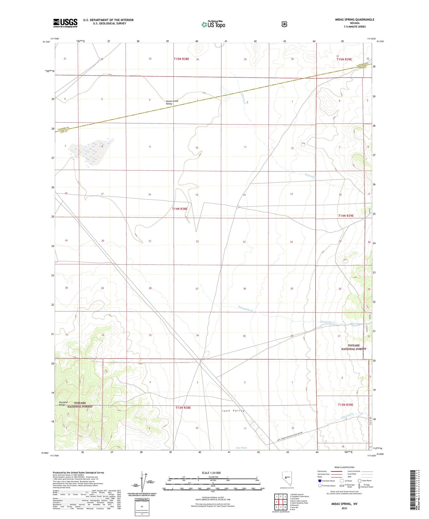
Midas Spring Nevada US Topo Map
Couldn't load pickup availability
Also explore the Midas Spring Forest Service Topo of this same quad for updated USFS data
2021 topographic map quadrangle Midas Spring in the state of Nevada. Scale: 1:24000. Based on the newly updated USGS 7.5' US Topo map series, this map is in the following counties: Nye, Lander. The map contains contour data, water features, and other items you are used to seeing on USGS maps, but also has updated roads and other features. This is the next generation of topographic maps. Printed on high-quality waterproof paper with UV fade-resistant inks.
Quads adjacent to this one:
West: Burnt Cabin Summit
Northwest: Buffalo Summit
North: Campbell Creek Ranch
Northeast: Gold Park
East: South Shoshone Peak
Southeast: Ione
South: Ione NW
Southwest: Ellsworth
This map covers the same area as the classic USGS quad with code o39117a6.
Contains the following named places: Duluth, Duluth Post Office, Lebeau Creek, Midas Spring, Peerless, Sunnyside Creek