MyTopo
Quartz Mountain NW Nevada US Topo Map
Couldn't load pickup availability
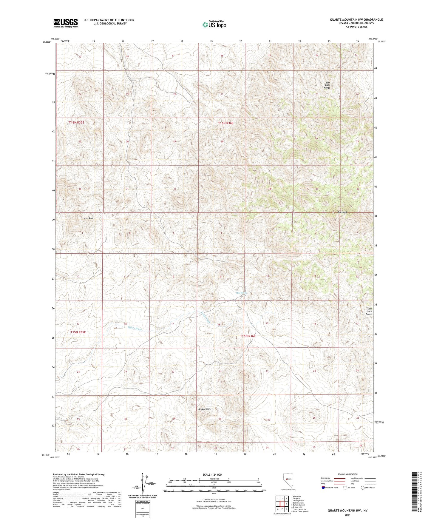
2021 topographic map quadrangle Quartz Mountain NW in the state of Nevada. Scale: 1:24000. Based on the newly updated USGS 7.5' US Topo map series, this map is in the following counties: Churchill. The map contains contour data, water features, and other items you are used to seeing on USGS maps, but also has updated roads and other features. This is the next generation of topographic maps. Printed on high-quality waterproof paper with UV fade-resistant inks.
Quads adjacent to this one:
West: Bell Mountain
Northwest: West Gate
North: Eastgate
Northeast: Desatoya Peak
East: Buffalo Summit
Southeast: Burnt Cabin Summit
South: Quartz Mountain
Southwest: Broken Hills
This map covers the same area as the classic USGS quad with code o39117b8.
Contains the following named places: East Gate Range, Grayback, Grayback Well Number One, Grayback Well Number Two, Iron Rock, Mud Spring, Mud Wash Well