MyTopo
Butler Ranch Nevada US Topo Map
Couldn't load pickup availability
Also explore the Butler Ranch Forest Service Topo of this same quad for updated USFS data
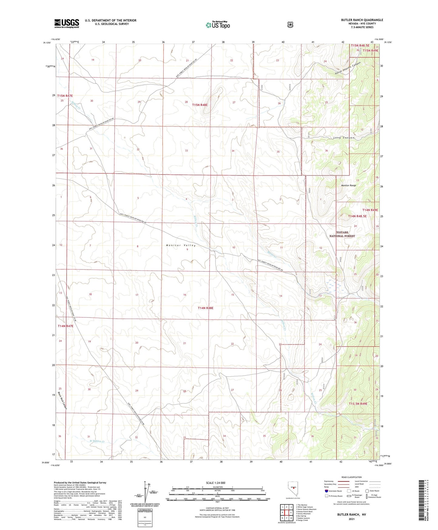
2021 topographic map quadrangle Butler Ranch in the state of Nevada. Scale: 1:24000. Based on the newly updated USGS 7.5' US Topo map series, this map is in the following counties: Nye. The map contains contour data, water features, and other items you are used to seeing on USGS maps, but also has updated roads and other features. This is the next generation of topographic maps. Printed on high-quality waterproof paper with UV fade-resistant inks.
Quads adjacent to this one:
West: Dianas Punch Bowl
Northwest: The Monitor
North: White Sage Canyon
Northeast: Horse Heaven Mountain
East: Savory Mountain
Southeast: Stargo Creek
South: Dobbin Summit
Southwest: Box Spring
This map covers the same area as the classic USGS quad with code o39116a5.
Contains the following named places: Blackburn Administrative Site, Butler Creek, Butler Ranch, Horse Heaven Canyon, Long Canyon, West Dobbin Creek, Willow Creek Ranch