MyTopo
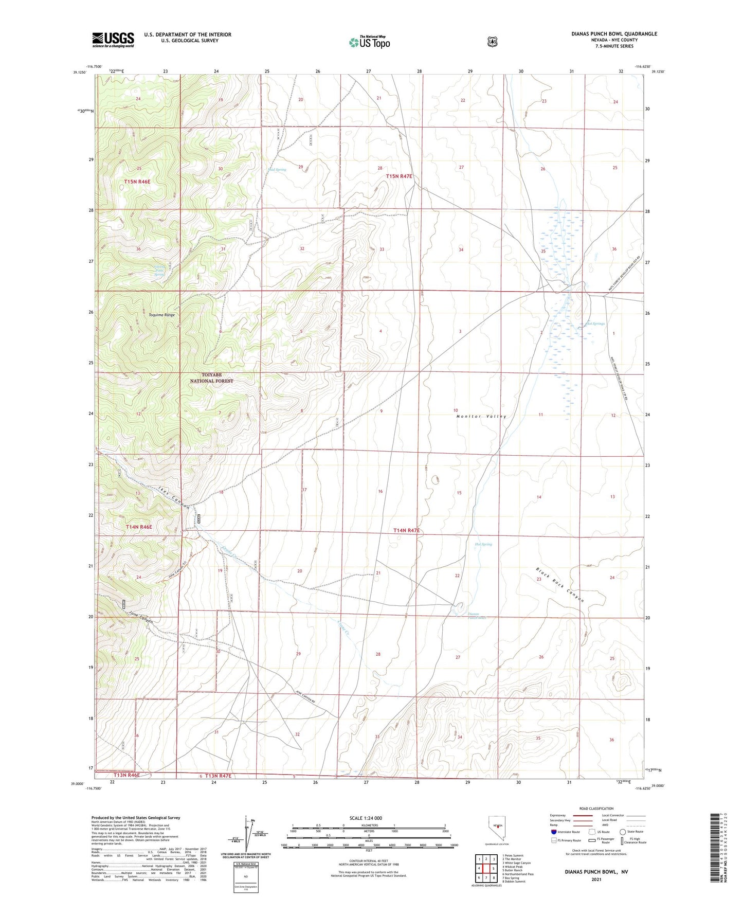
Dianas Punch Bowl Nevada US Topo Map
Couldn't load pickup availability
Also explore the Dianas Punch Bowl Forest Service Topo of this same quad for updated USFS data
2021 topographic map quadrangle Dianas Punch Bowl in the state of Nevada. Scale: 1:24000. Based on the newly updated USGS 7.5' US Topo map series, this map is in the following counties: Nye. The map contains contour data, water features, and other items you are used to seeing on USGS maps, but also has updated roads and other features. This is the next generation of topographic maps. Printed on high-quality waterproof paper with UV fade-resistant inks.
Quads adjacent to this one:
West: Wildcat Peak
Northwest: Petes Summit
North: The Monitor
Northeast: White Sage Canyon
East: Butler Ranch
Southeast: Dobbin Summit
South: Box Spring
Southwest: Northumberland Pass
This map covers the same area as the classic USGS quad with code o39116a6.
Contains the following named places: Black Rock Canyon, Crane Creek, Dianas Punch Bowl, Hot Spring, Hot Springs, Ikes Canyon, Johnny Potts Spring, June Canyon, Mud Spring, Potts, Potts Post Office, Potts Ranch