MyTopo
Cobre Nevada US Topo Map
Couldn't load pickup availability
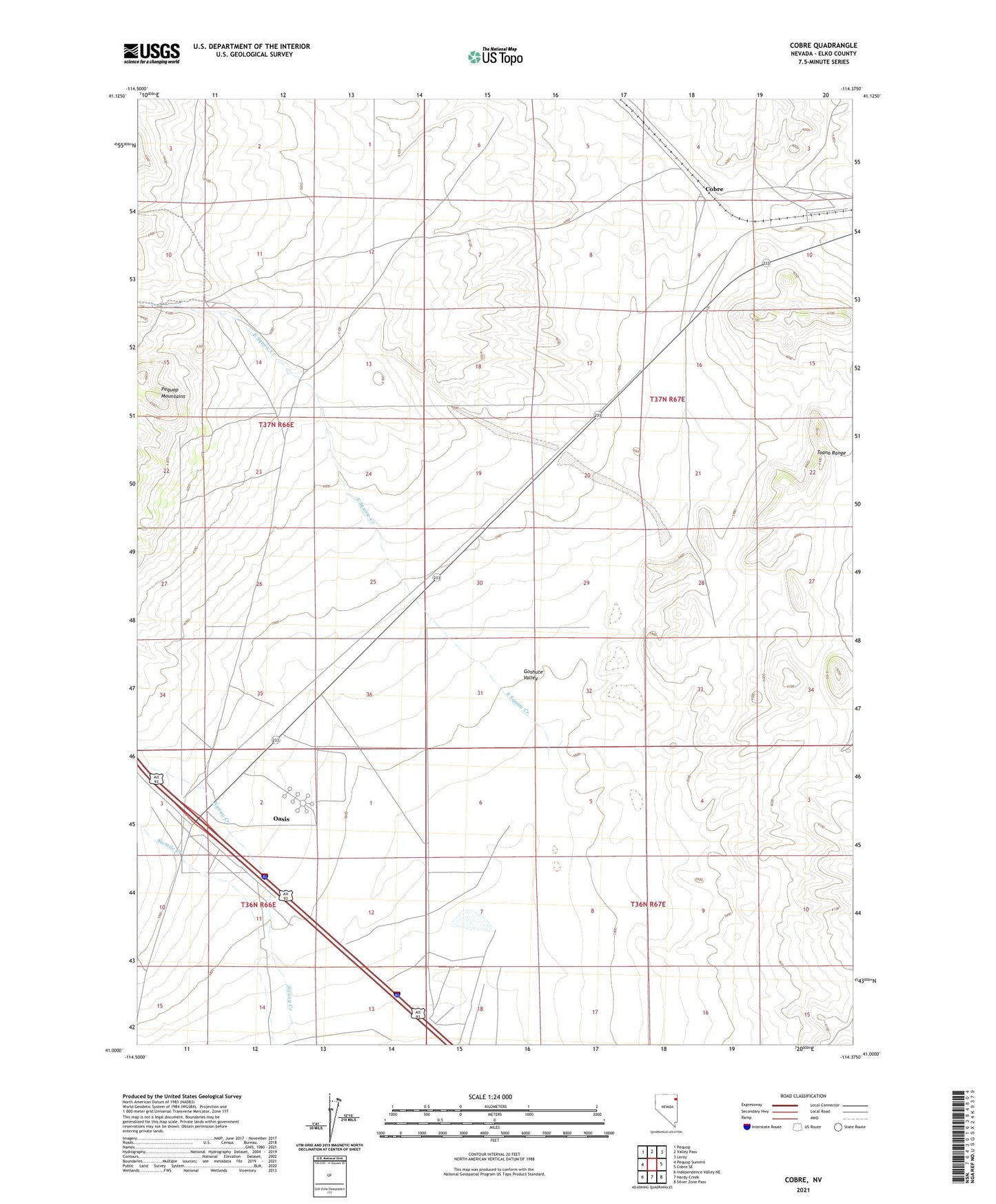
2023 topographic map quadrangle Cobre in the state of Nevada. Scale: 1:24000. Based on the newly updated USGS 7.5' US Topo map series, this map is in the following counties: Elko. The map contains contour data, water features, and other items you are used to seeing on USGS maps, but also has updated roads and other features. This is the next generation of topographic maps. Printed on high-quality waterproof paper with UV fade-resistant inks.
Quads adjacent to this one:
West: Pequop Summit
Northwest: Pequop
North: Valley Pass
Northeast: Loray
East: Cobre SE
Southeast: Silver Zone Pass
South: Hardy Creek
Southwest: Independence Valley NE
This map covers the same area as the classic USGS quad with code o41114a4.
Contains the following named places: Cobre, Cobre Post Office, East Squaw Creek, Gravel Pit Spur, Oasis, Oasis Census Designated Place, Squaw Creek Ranch