MyTopo
Cockalorum Spring Nevada US Topo Map
Couldn't load pickup availability
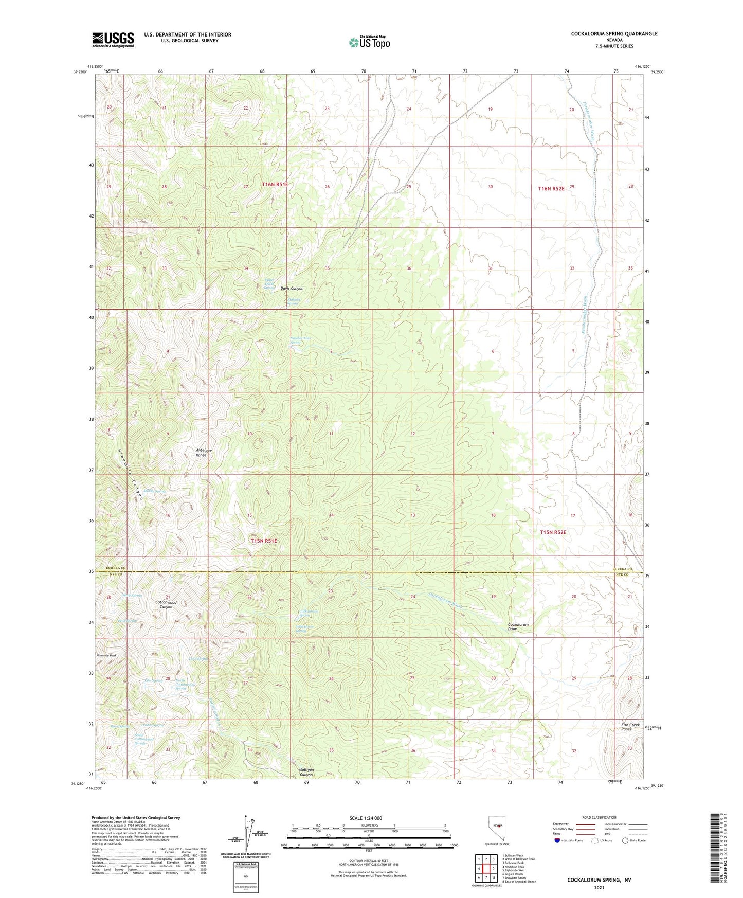
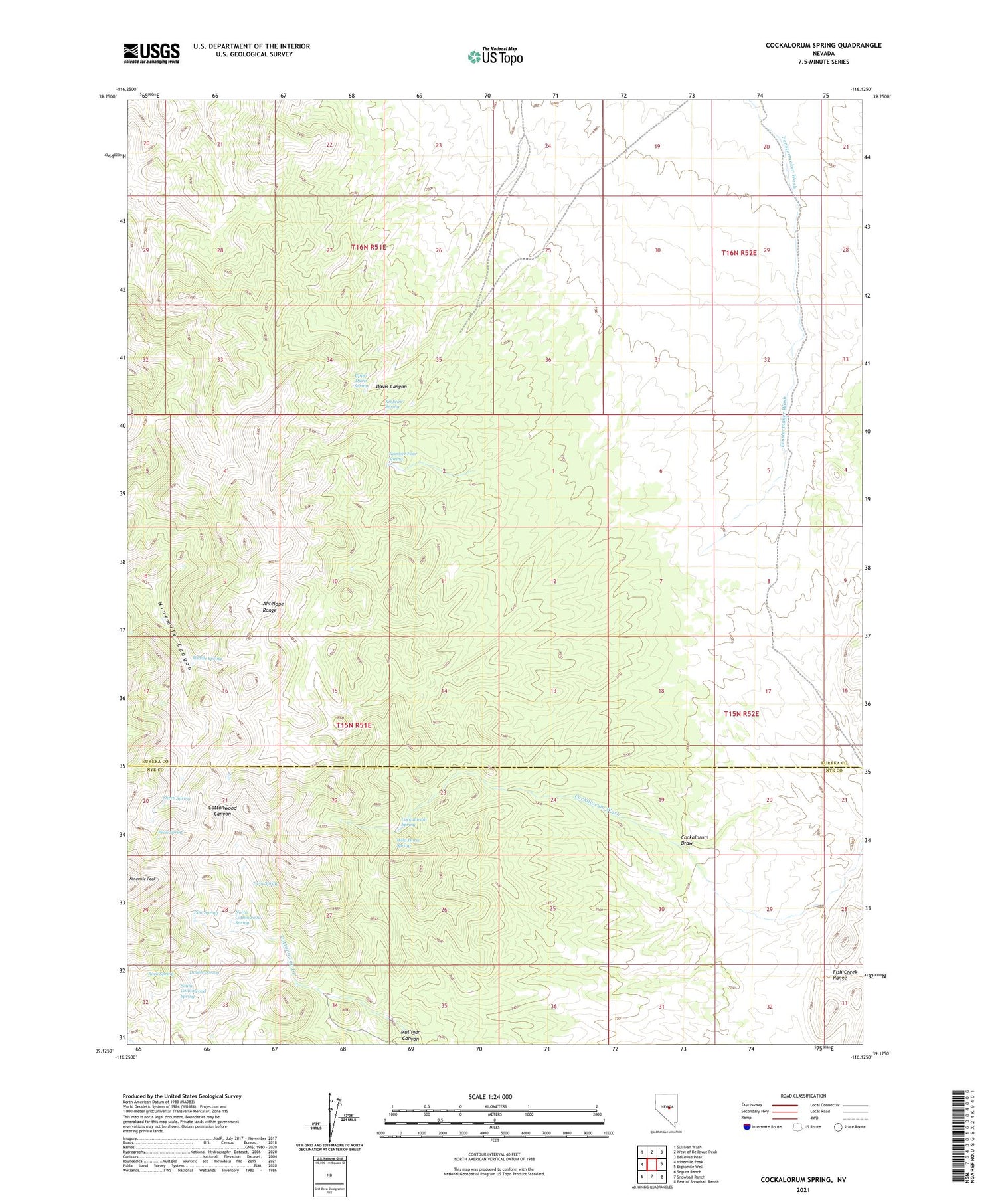
2021 topographic map quadrangle Cockalorum Spring in the state of Nevada. Scale: 1:24000. Based on the newly updated USGS 7.5' US Topo map series, this map is in the following counties: Eureka, Nye. The map contains contour data, water features, and other items you are used to seeing on USGS maps, but also has updated roads and other features. This is the next generation of topographic maps. Printed on high-quality waterproof paper with UV fade-resistant inks.
Quads adjacent to this one:
West: Ninemile Peak
Northwest: Sullivan Wash
North: West of Bellevue Peak
Northeast: Bellevue Peak
East: Eightmile Well
Southeast: East of Snowball Ranch
South: Snowball Ranch
Southwest: Segura Ranch
Contains the following named places: Cockalorum Draw, Cockalorum Spring, Double Spring, Kinkead Spring, Middle Spring, Mulligan Canyon, North Cottonwood Spring, Number Four Spring, Peak Spring, Pine Spring, Rock Spring, Sheep Spring, South Cottonwood Spring, Twin Spring, Upper Davis Spring, Wild Horse Spring