MyTopo
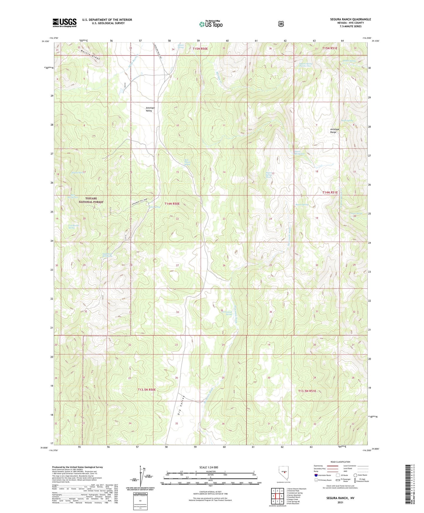
Segura Ranch Nevada US Topo Map
Couldn't load pickup availability
Also explore the Segura Ranch Forest Service Topo of this same quad for updated USFS data
2021 topographic map quadrangle Segura Ranch in the state of Nevada. Scale: 1:24000. Based on the newly updated USGS 7.5' US Topo map series, this map is in the following counties: Nye. The map contains contour data, water features, and other items you are used to seeing on USGS maps, but also has updated roads and other features. This is the next generation of topographic maps. Printed on high-quality waterproof paper with UV fade-resistant inks.
Quads adjacent to this one:
West: Savory Mountain
Northwest: Horse Heaven Mountain
North: Ninemile Peak
Northeast: Cockalorum Spring
East: Snowball Ranch
Southeast: Park Mountain
South: Fish Springs NE
Southwest: Stargo Creek
This map covers the same area as the classic USGS quad with code o39116a3.
Contains the following named places: Antelope Range, Applebush Hill Spring, Blair Spring Two, Butch Spring, Cabin Spring, Coal Burner Spring, Couger Spring, Dick Allison Spring, Homestead Spring, Mahogany Spring, Quaker Spring, Segura Ranch, Segura Spring, Segura Spring Four, Segura Spring Number Five, Segura Spring Three