MyTopo
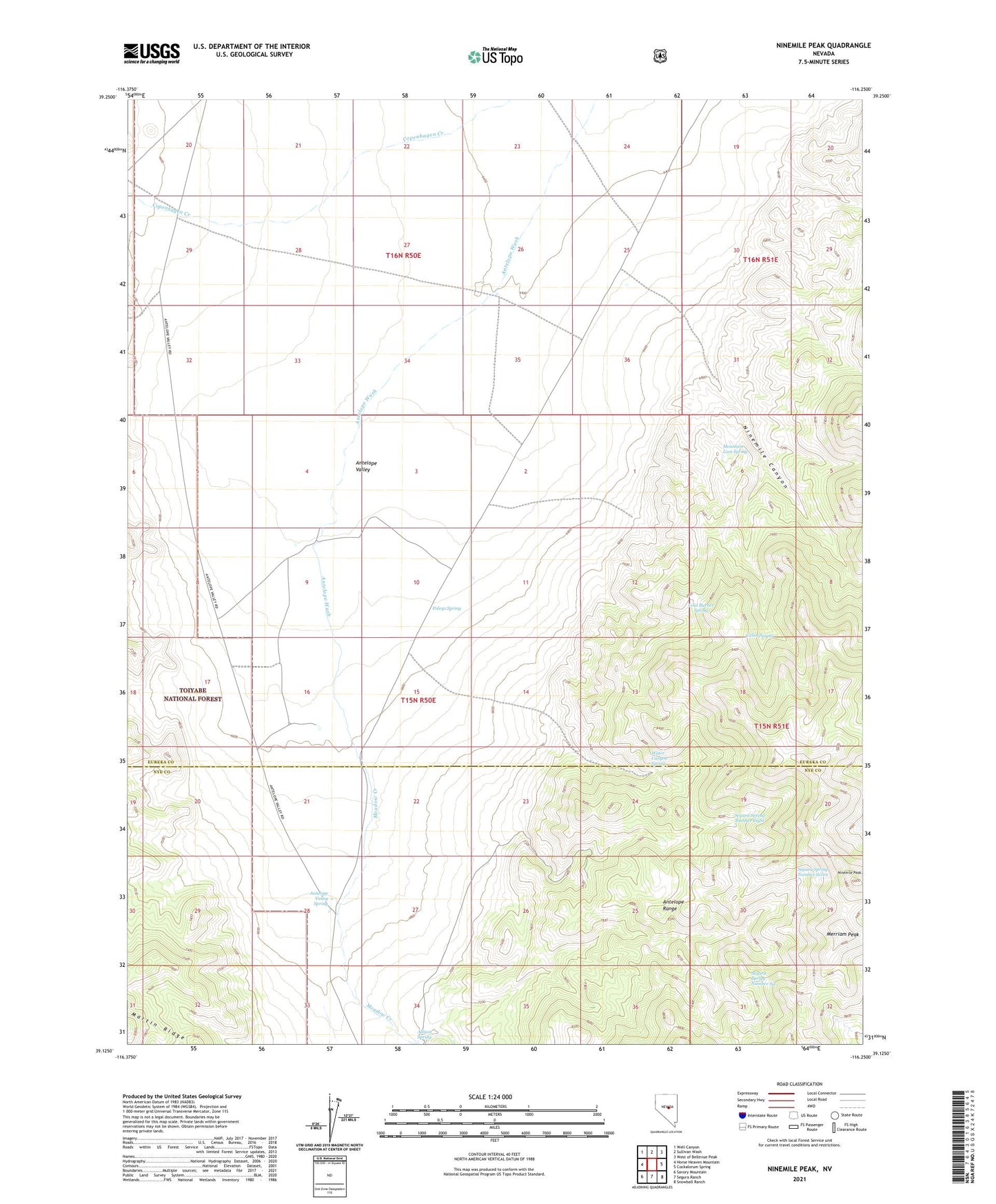
Ninemile Peak Nevada US Topo Map
Couldn't load pickup availability
Also explore the Ninemile Peak Forest Service Topo of this same quad for updated USFS data
2021 topographic map quadrangle Ninemile Peak in the state of Nevada. Scale: 1:24000. Based on the newly updated USGS 7.5' US Topo map series, this map is in the following counties: Eureka, Nye. The map contains contour data, water features, and other items you are used to seeing on USGS maps, but also has updated roads and other features. This is the next generation of topographic maps. Printed on high-quality waterproof paper with UV fade-resistant inks.
Quads adjacent to this one:
West: Horse Heaven Mountain
Northwest: Well Canyon
North: Sullivan Wash
Northeast: West of Bellevue Peak
East: Cockalorum Spring
Southeast: Snowball Ranch
South: Segura Ranch
Southwest: Savory Mountain
This map covers the same area as the classic USGS quad with code o39116b3.
Contains the following named places: Allison Spring, Antelope Valley Spring, Cabin Spring, Coal Burner Spring, Foleys Spring, Meadow Creek, Merriam Peak, Mountain Lion Spring, Ninemile Canyon, Ninemile Peak, Segura, Segura Spring Number Eight, Segura Spring Number Seven, Segura Spring Number Six, Water Canyon Spring, White Rock Creek