MyTopo
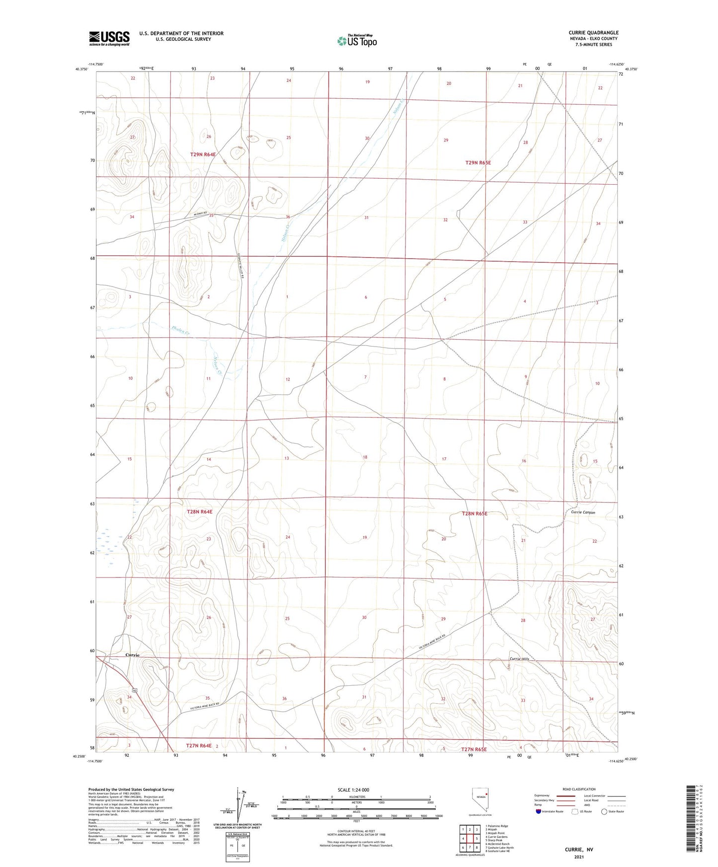
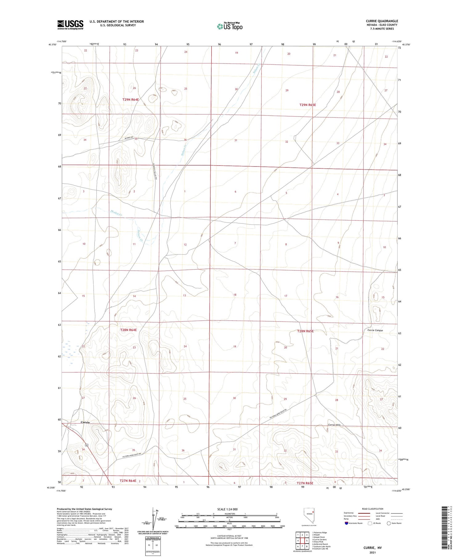
Currie Nevada US Topo Map
Couldn't load pickup availability
2021 topographic map quadrangle Currie in the state of Nevada. Scale: 1:24000. Based on the newly updated USGS 7.5' US Topo map series, this map is in the following counties: Elko. The map contains contour data, water features, and other items you are used to seeing on USGS maps, but also has updated roads and other features. This is the next generation of topographic maps. Printed on high-quality waterproof paper with UV fade-resistant inks.
Quads adjacent to this one:
West: Currie Gardens
Northwest: Palomino Ridge
North: Mizpah
Northeast: Mizpah Point
East: Sharp Peak
Southeast: Goshute Lake NE
South: Goshute Lake North
Southwest: McDermid Ranch
This map covers the same area as the classic USGS quad with code o40114c6.
Contains the following named places: Currie, Currie Canyon, Currie Elementary School, Currie Maintenance Station, Currie Post Office, East Railroad Well, McDermid Creek, Mustang Well, Phalen Creek, Walker Well