MyTopo
Dixie Hot Springs Nevada US Topo Map
Couldn't load pickup availability
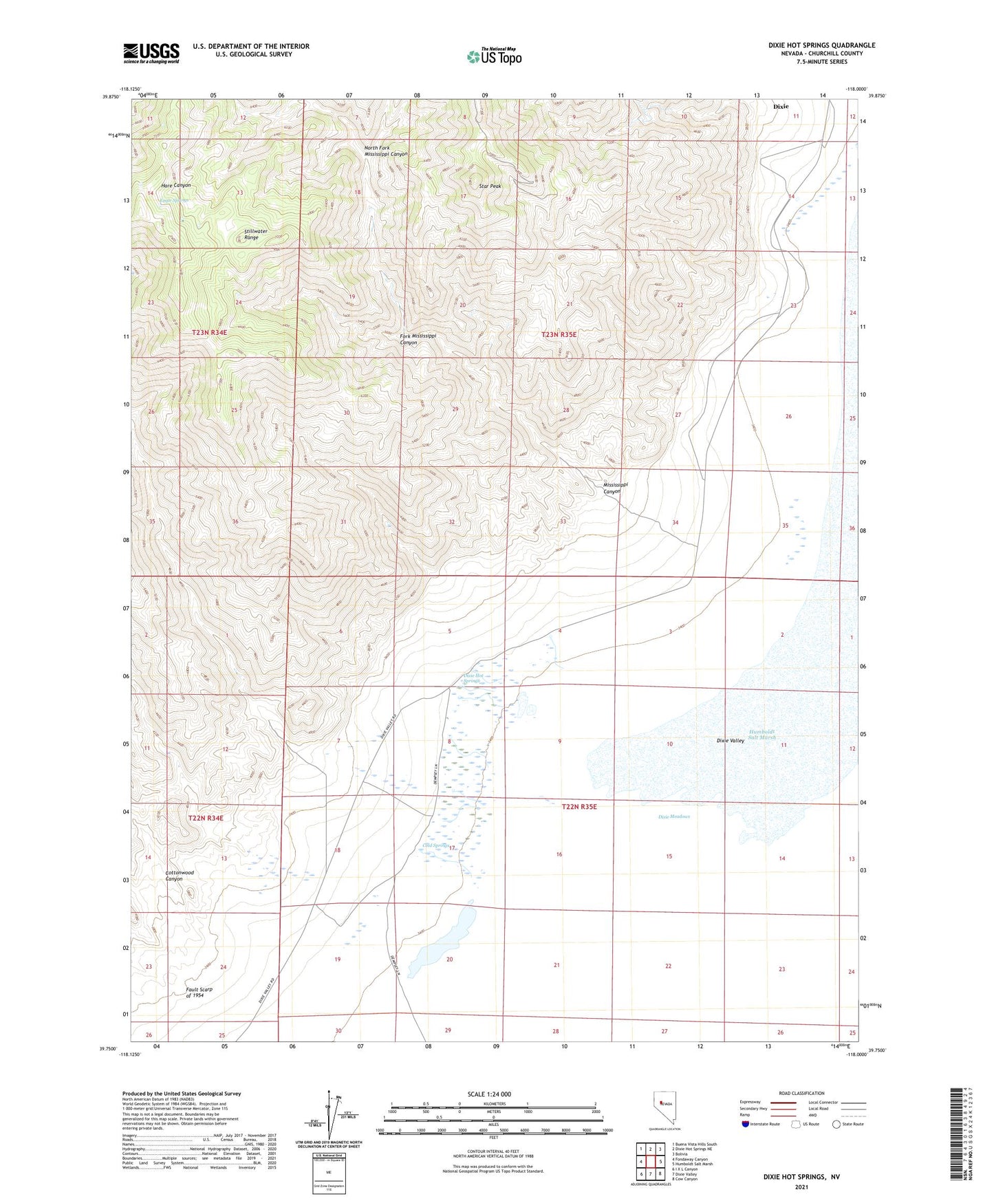
2021 topographic map quadrangle Dixie Hot Springs in the state of Nevada. Scale: 1:24000. Based on the newly updated USGS 7.5' US Topo map series, this map is in the following counties: Churchill. The map contains contour data, water features, and other items you are used to seeing on USGS maps, but also has updated roads and other features. This is the next generation of topographic maps. Printed on high-quality waterproof paper with UV fade-resistant inks.
Quads adjacent to this one:
West: Fondaway Canyon
Northwest: Buena Vista Hills South
North: Dixie Hot Springs NE
Northeast: Bolivia
East: Humboldt Salt Marsh
Southeast: Cow Canyon
South: Dixie Valley
Southwest: I X L Canyon
This map covers the same area as the classic USGS quad with code o39118g1.
Contains the following named places: Cold Springs, Cottonwood Canyon, Dixie, Dixie Comstock Mine, Dixie Hot Springs, Dixie Valley Mining District, Eagle Springs, Fault Scarp of 1954, Fork Mississippi Canyon, Hare Canyon, Mississippi Canyon, North Fork Mississippi Canyon, Star Peak, Stillwater Range