MyTopo
Cow Canyon Nevada US Topo Map
Couldn't load pickup availability
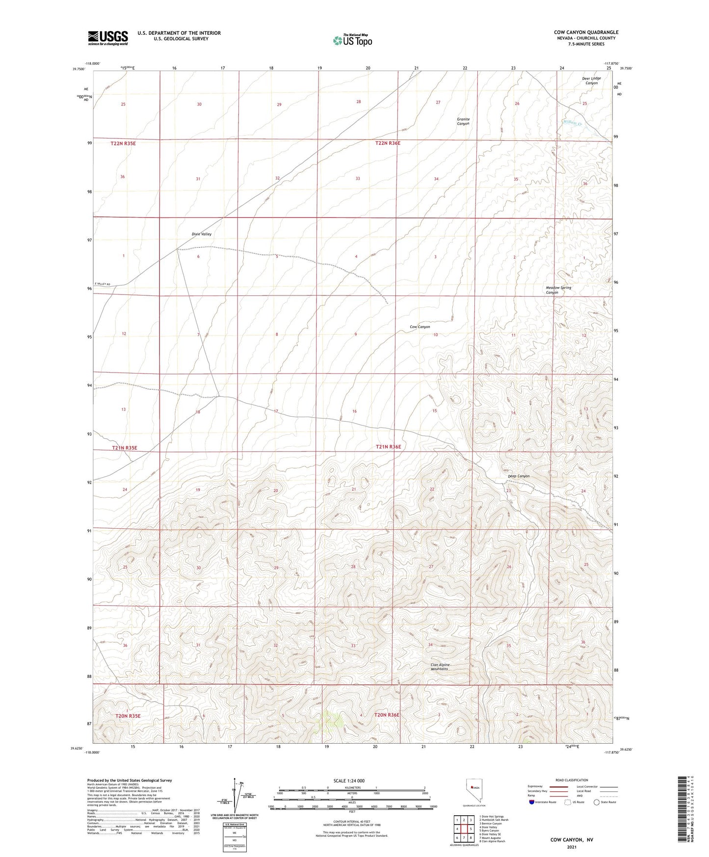
2021 topographic map quadrangle Cow Canyon in the state of Nevada. Scale: 1:24000. Based on the newly updated USGS 7.5' US Topo map series, this map is in the following counties: Churchill. The map contains contour data, water features, and other items you are used to seeing on USGS maps, but also has updated roads and other features. This is the next generation of topographic maps. Printed on high-quality waterproof paper with UV fade-resistant inks.
Quads adjacent to this one:
West: Dixie Valley
Northwest: Dixie Hot Springs
North: Humboldt Salt Marsh
Northeast: Bernice Canyon
East: Byers Canyon
Southeast: Clan Alpine Ranch
South: Mount Augusta
Southwest: Dixie Valley SE
This map covers the same area as the classic USGS quad with code o39117f8.
Contains the following named places: Cow Canyon, Deep Canyon, Deer Lodge Canyon, Granite Canyon, Grover Point Well, Meadow Spring Canyon, Willow Creek