MyTopo
Downeyville Nevada US Topo Map
Couldn't load pickup availability
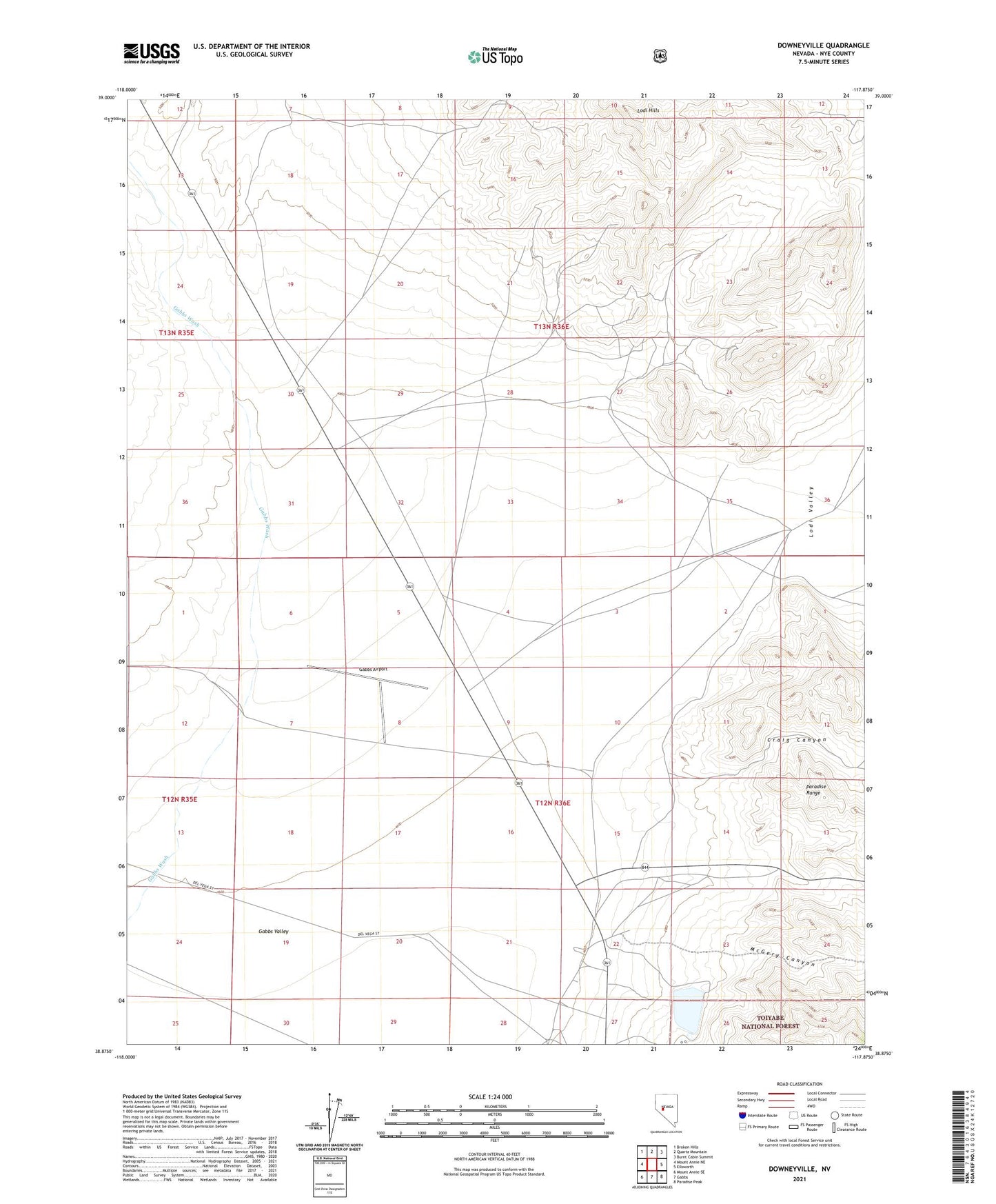
2021 topographic map quadrangle Downeyville in the state of Nevada. Scale: 1:24000. Based on the newly updated USGS 7.5' US Topo map series, this map is in the following counties: Nye. The map contains contour data, water features, and other items you are used to seeing on USGS maps, but also has updated roads and other features. This is the next generation of topographic maps. Printed on high-quality waterproof paper with UV fade-resistant inks.
Quads adjacent to this one:
West: Mount Annie NE
Northwest: Broken Hills
North: Quartz Mountain
Northeast: Burnt Cabin Summit
East: Ellsworth
Southeast: Paradise Peak
South: Gabbs
Southwest: Mount Annie SE
Contains the following named places: Craig Canyon, Deep Well Station, Downeyville, Downeyville Lead Mines, Downeyville Post Office, El Capitan Mine, Franks Well Number One, Gabbs Airport, Holly Well, Illinois Mine, Lodi, Lodi Hills, Lodi Mining District, Lodi Post Office, Lodi Valley, Marble, Marble Post Office, McGery Canyon, Nevada Works Basic Dam, Sierra Magnesite Camp, Victory Mine, Whitaker Well