MyTopo
Mount Annie NE Nevada US Topo Map
Couldn't load pickup availability
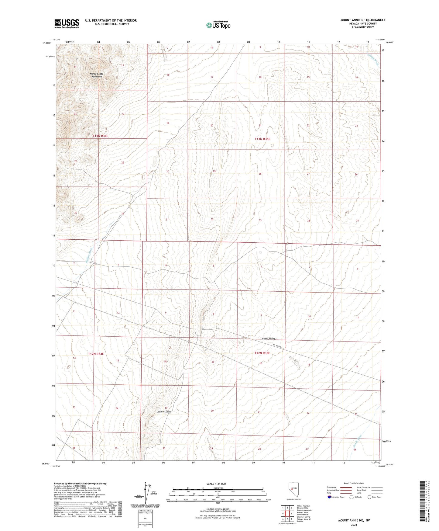
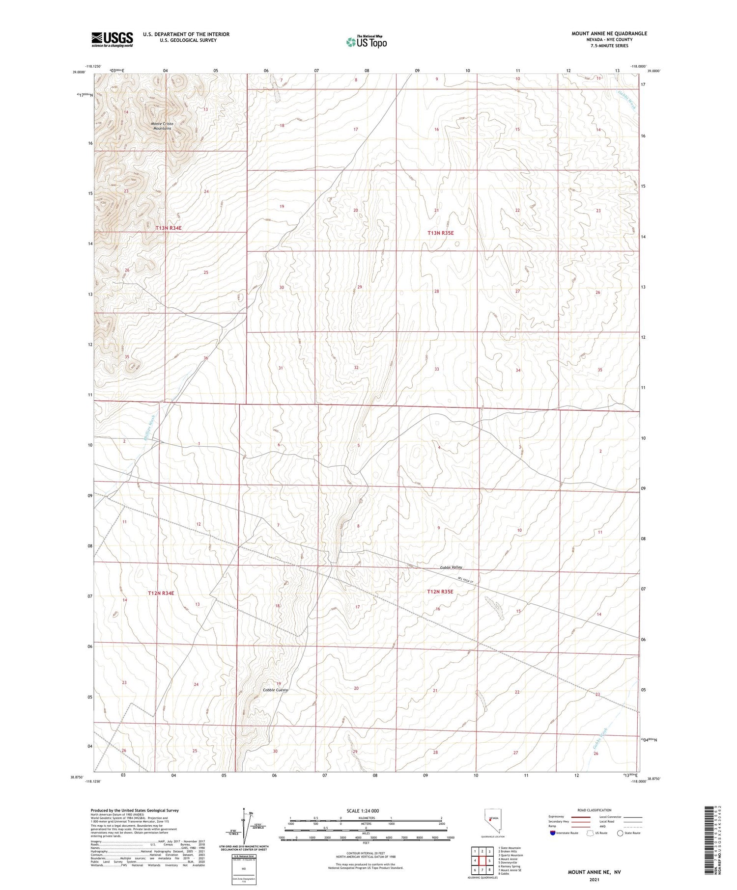
2021 topographic map quadrangle Mount Annie NE in the state of Nevada. Scale: 1:24000. Based on the newly updated USGS 7.5' US Topo map series, this map is in the following counties: Nye. The map contains contour data, water features, and other items you are used to seeing on USGS maps, but also has updated roads and other features. This is the next generation of topographic maps. Printed on high-quality waterproof paper with UV fade-resistant inks.
Quads adjacent to this one:
West: Mount Annie
Northwest: Slate Mountain
North: Broken Hills
Northeast: Quartz Mountain
East: Downeyville
Southeast: Gabbs
South: Mount Annie SE
Southwest: Ramsey Spring
This map covers the same area as the classic USGS quad with code o38118h1.
Contains the following named places: Cobble Cuesta, Gabbs Wash, Upper Phillips Well