
MyTopo
Drumm Summit Nevada US Topo Map
Couldn't load pickup availability
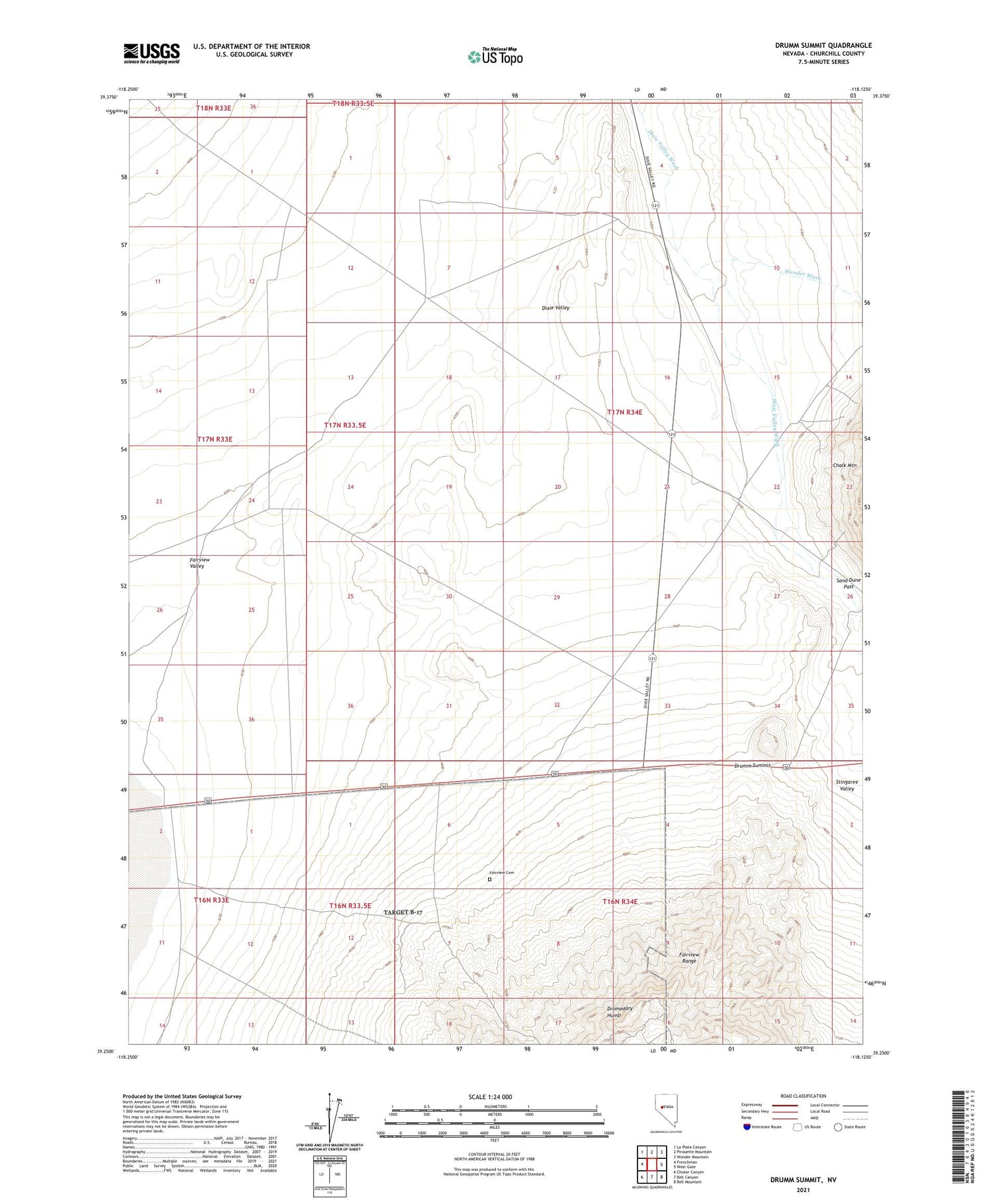
2021 topographic map quadrangle Drumm Summit in the state of Nevada. Scale: 1:24000. Based on the newly updated USGS 7.5' US Topo map series, this map is in the following counties: Churchill. The map contains contour data, water features, and other items you are used to seeing on USGS maps, but also has updated roads and other features. This is the next generation of topographic maps. Printed on high-quality waterproof paper with UV fade-resistant inks.
Quads adjacent to this one:
West: Frenchman
Northwest: La Plata Canyon
North: Pirouette Mountain
Northeast: Wonder Mountain
East: West Gate
Southeast: Bell Mountain
South: Bell Canyon
Southwest: Chukar Canyon
Contains the following named places: Cyclone Mine, Dixie Valley Reservoir Number One, Dixie Valley Reservoir Number Two, Dromedary Hump, Dromedary Hump Mine, Dromedary Mill, Drumm Summit, Eagles Nest Fairview Mine, Fairfield, Fairfield Post Office, Fairview, Fairview Cemetery, Fairview Consolidated Mine, Fairview Eagle Mine, Fairview Golden Boulder Mine, Fairview Post Office, Fairview Station, Ida Mines, Lena Fairview Mine, Lena Nevada Mine, North Well, Sand Dune Pass, Wonder Wash


