MyTopo
Pirouette Mountain Nevada US Topo Map
Couldn't load pickup availability
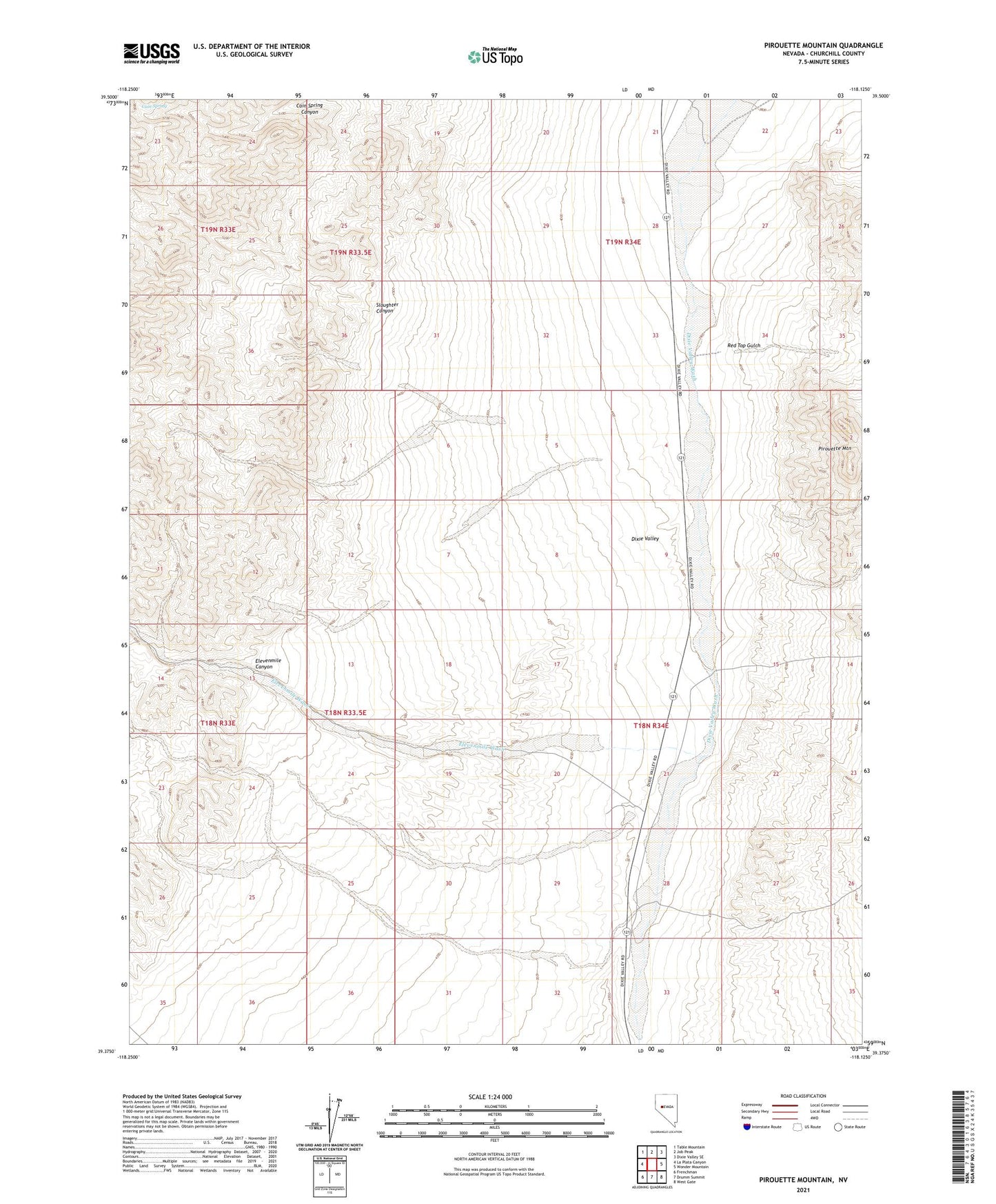
2021 topographic map quadrangle Pirouette Mountain in the state of Nevada. Scale: 1:24000. Based on the newly updated USGS 7.5' US Topo map series, this map is in the following counties: Churchill. The map contains contour data, water features, and other items you are used to seeing on USGS maps, but also has updated roads and other features. This is the next generation of topographic maps. Printed on high-quality waterproof paper with UV fade-resistant inks.
Quads adjacent to this one:
West: La Plata Canyon
Northwest: Table Mountain
North: Job Peak
Northeast: Dixie Valley SE
East: Wonder Mountain
Southeast: West Gate
South: Drumm Summit
Southwest: Frenchman
This map covers the same area as the classic USGS quad with code o39118d2.
Contains the following named places: Cain Spring, Elevenmile Canyon, Elevenmile Wash, Elevenmile Well, Pirouette Mountain, Red Top Gulch, Slaughter Canyon