MyTopo
West Gate Nevada US Topo Map
Couldn't load pickup availability
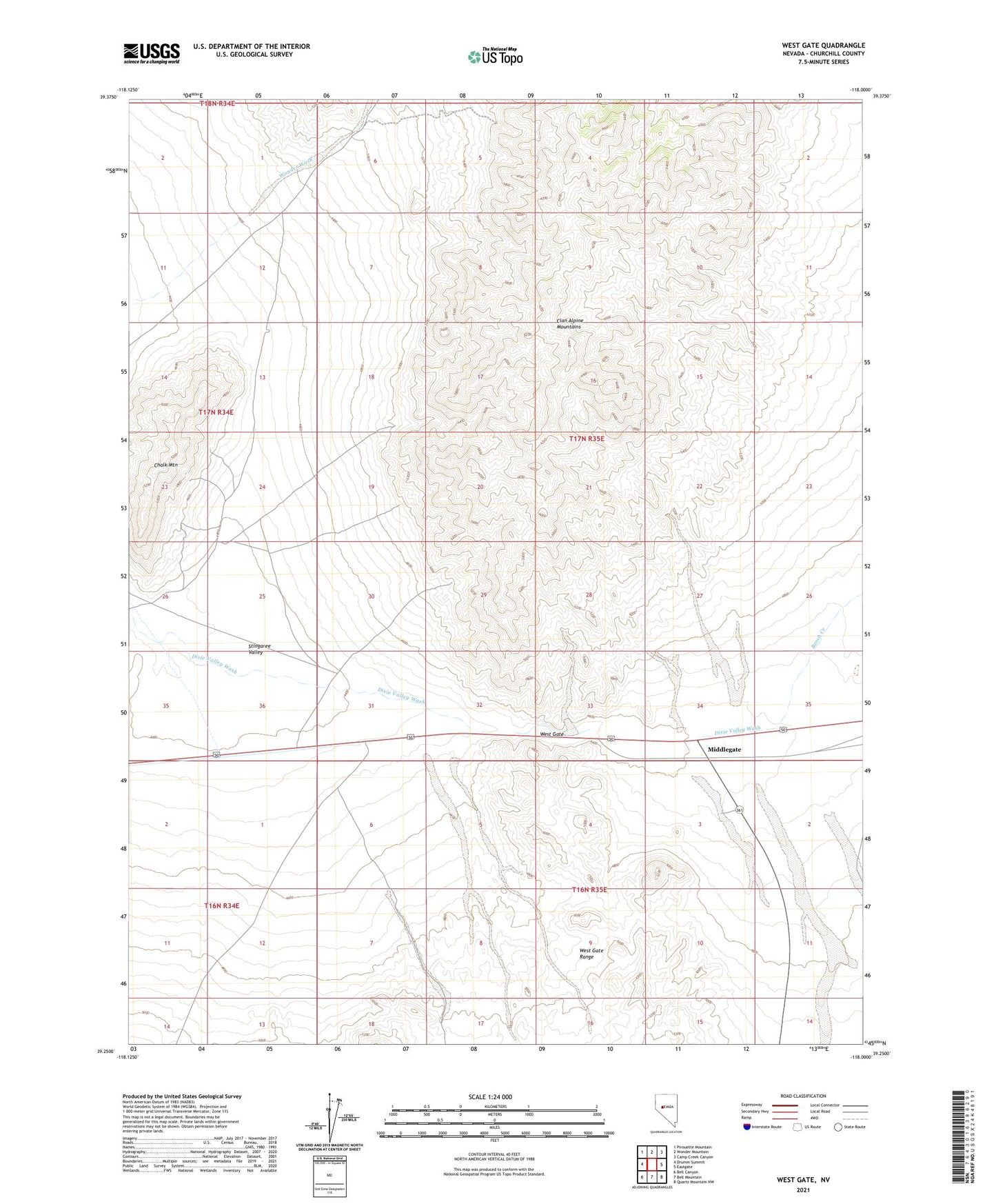
2021 topographic map quadrangle West Gate in the state of Nevada. Scale: 1:24000. Based on the newly updated USGS 7.5' US Topo map series, this map is in the following counties: Churchill. The map contains contour data, water features, and other items you are used to seeing on USGS maps, but also has updated roads and other features. This is the next generation of topographic maps. Printed on high-quality waterproof paper with UV fade-resistant inks.
Quads adjacent to this one:
West: Drumm Summit
Northwest: Pirouette Mountain
North: Wonder Mountain
Northeast: Camp Creek Canyon
East: Eastgate
Southeast: Quartz Mountain NW
South: Bell Mountain
Southwest: Bell Canyon
This map covers the same area as the classic USGS quad with code o39118c1.
Contains the following named places: Bench Creek, Chalk Mountain, Chalk Mountain Mining District, Chalk Mountain Silver-Lead Mine, Middlegate, Stingaree Valley, West Gate, West Gate Mill, Westgate Mine, Westgate Mining District, Westgate Well