MyTopo
Eagle Rock Spring Nevada US Topo Map
Couldn't load pickup availability
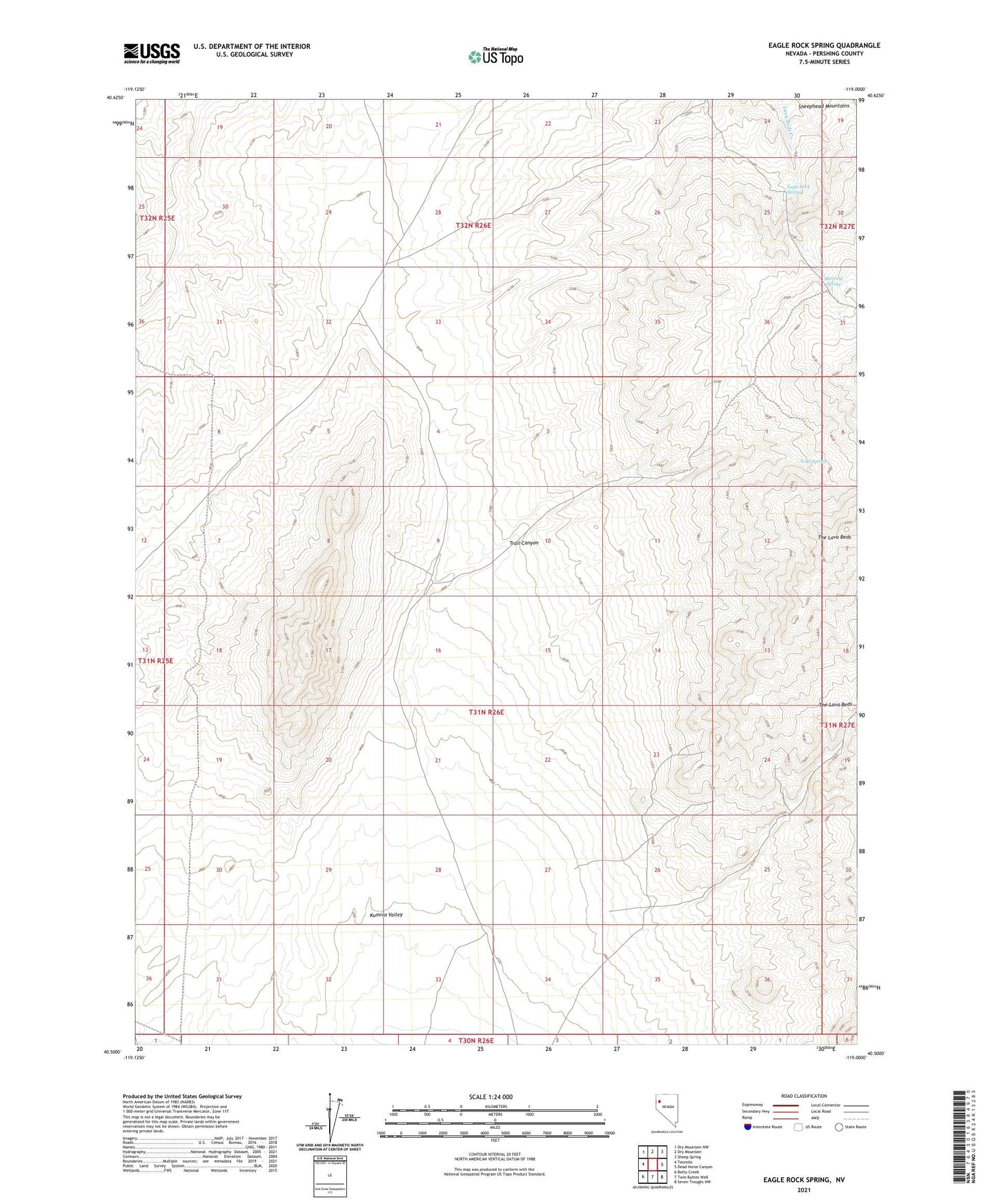
2021 topographic map quadrangle Eagle Rock Spring in the state of Nevada. Scale: 1:24000. Based on the newly updated USGS 7.5' US Topo map series, this map is in the following counties: Pershing. The map contains contour data, water features, and other items you are used to seeing on USGS maps, but also has updated roads and other features. This is the next generation of topographic maps. Printed on high-quality waterproof paper with UV fade-resistant inks.
Quads adjacent to this one:
West: Tenmile
Northwest: Dry Mountain NW
North: Dry Mountain
Northeast: Sheep Spring
East: Dead Horse Canyon
Southeast: Seven Troughs NW
South: Twin Buttes Well
Southwest: Betty Creek
This map covers the same area as the classic USGS quad with code o40119e1.
Contains the following named places: Eagle Rock Spring, Lava Beds Camp, Mustang Spring, The Lava Beds, Trail Canyon, Trail Springs