MyTopo
Seven Troughs NW Nevada US Topo Map
Couldn't load pickup availability
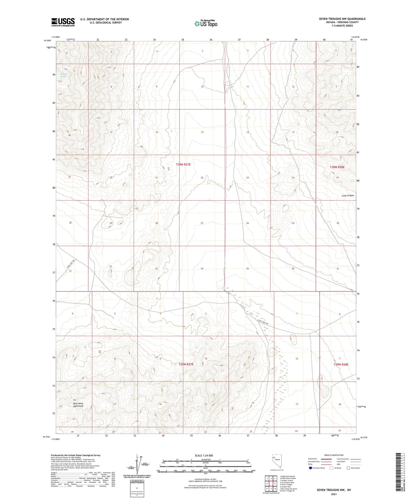
2021 topographic map quadrangle Seven Troughs NW in the state of Nevada. Scale: 1:24000. Based on the newly updated USGS 7.5' US Topo map series, this map is in the following counties: Pershing. The map contains contour data, water features, and other items you are used to seeing on USGS maps, but also has updated roads and other features. This is the next generation of topographic maps. Printed on high-quality waterproof paper with UV fade-resistant inks.
Quads adjacent to this one:
West: Twin Buttes Well
Northwest: Eagle Rock Spring
North: Dead Horse Canyon
Northeast: Juniper Canyon
East: Seven Troughs
Southeast: Seven Troughs SE
South: Blue Wing Flat North
Southwest: Juniper Pass
This map covers the same area as the classic USGS quad with code o40118d8.
Contains the following named places: Heineke Spring, Long Canyon