MyTopo
Flanigan Nevada US Topo Map
Couldn't load pickup availability
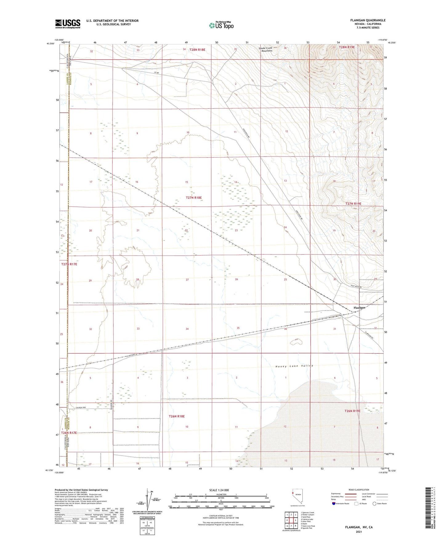
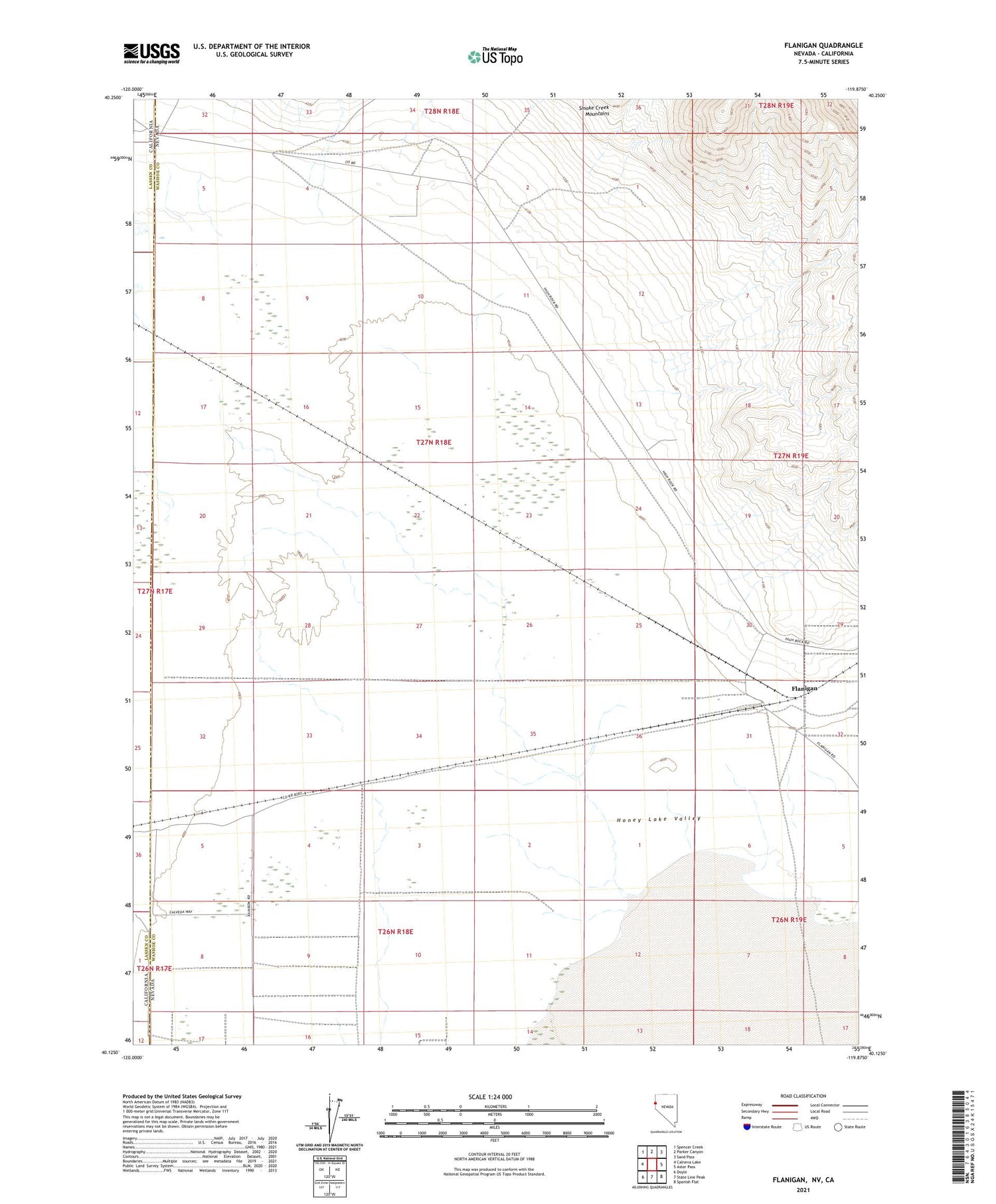
2021 topographic map quadrangle Flanigan in the state of Nevada. Scale: 1:24000. Based on the newly updated USGS 7.5' US Topo map series, this map is in the following counties: Washoe, Lassen. The map contains contour data, water features, and other items you are used to seeing on USGS maps, but also has updated roads and other features. This is the next generation of topographic maps. Printed on high-quality waterproof paper with UV fade-resistant inks.
Quads adjacent to this one:
West: Calneva Lake
Northwest: Spencer Creek
North: Parker Canyon
Northeast: Sand Pass
East: Astor Pass
Southeast: Spanish Flat
South: State Line Peak
Southwest: Doyle
Contains the following named places: Bonham School, Easton, Flanigan, Flanigan Post Office, Flanigan Well, High Rock Ranch, High Rock Well, Turn of the Road Well