MyTopo
Parker Canyon Nevada US Topo Map
Couldn't load pickup availability
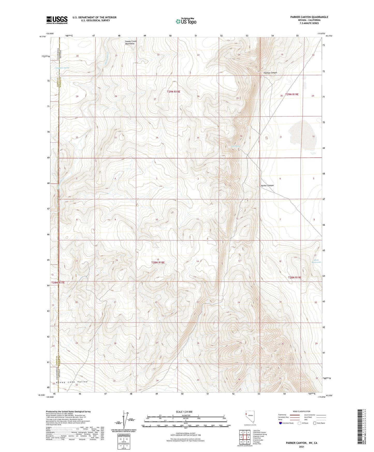
2021 topographic map quadrangle Parker Canyon in the states of Nevada, California. Scale: 1:24000. Based on the newly updated USGS 7.5' US Topo map series, this map is in the following counties: Washoe, Lassen. The map contains contour data, water features, and other items you are used to seeing on USGS maps, but also has updated roads and other features. This is the next generation of topographic maps. Printed on high-quality waterproof paper with UV fade-resistant inks.
Quads adjacent to this one:
West: Spencer Creek
Northwest: Bull Flat
North: Red Rock Canyon
Northeast: Sheepshead Spring
East: Sand Pass
Southeast: Astor Pass
South: Flanigan
Southwest: Calneva Lake
This map covers the same area as the classic USGS quad with code o40119c8.
Contains the following named places: Parker Canyon, Pipe Spring, Skedaddle Dam, Smoke Creek Mountains, Telephone Spring, Thomas Canyon