MyTopo
Gold Point SW Nevada US Topo Map
Couldn't load pickup availability
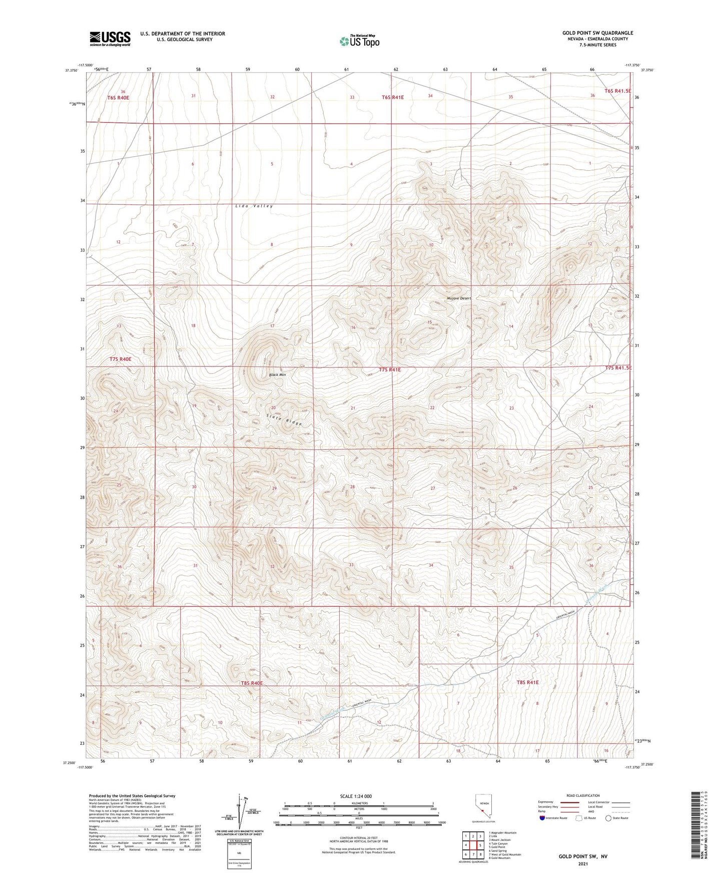
2021 topographic map quadrangle Gold Point SW in the state of Nevada. Scale: 1:24000. Based on the newly updated USGS 7.5' US Topo map series, this map is in the following counties: Esmeralda. The map contains contour data, water features, and other items you are used to seeing on USGS maps, but also has updated roads and other features. This is the next generation of topographic maps. Printed on high-quality waterproof paper with UV fade-resistant inks.
Quads adjacent to this one:
West: Tule Canyon
Northwest: Magruder Mountain
North: Lida
Northeast: Mount Jackson
East: Gold Point
Southeast: Gold Mountain
South: West of Gold Mountain
Southwest: Sand Spring
Contains the following named places: Black Mountain, Enterprise Mine, Gold Mountain Post Office, Greens Camp, Hornsilver Mining District, Ora Mae Mine, Orleans Mine, Seibeck Mine, Snake Pit Mine, State Line Mine, Stateline, Stateline Mill