MyTopo
Hawthorne East Nevada US Topo Map
Couldn't load pickup availability
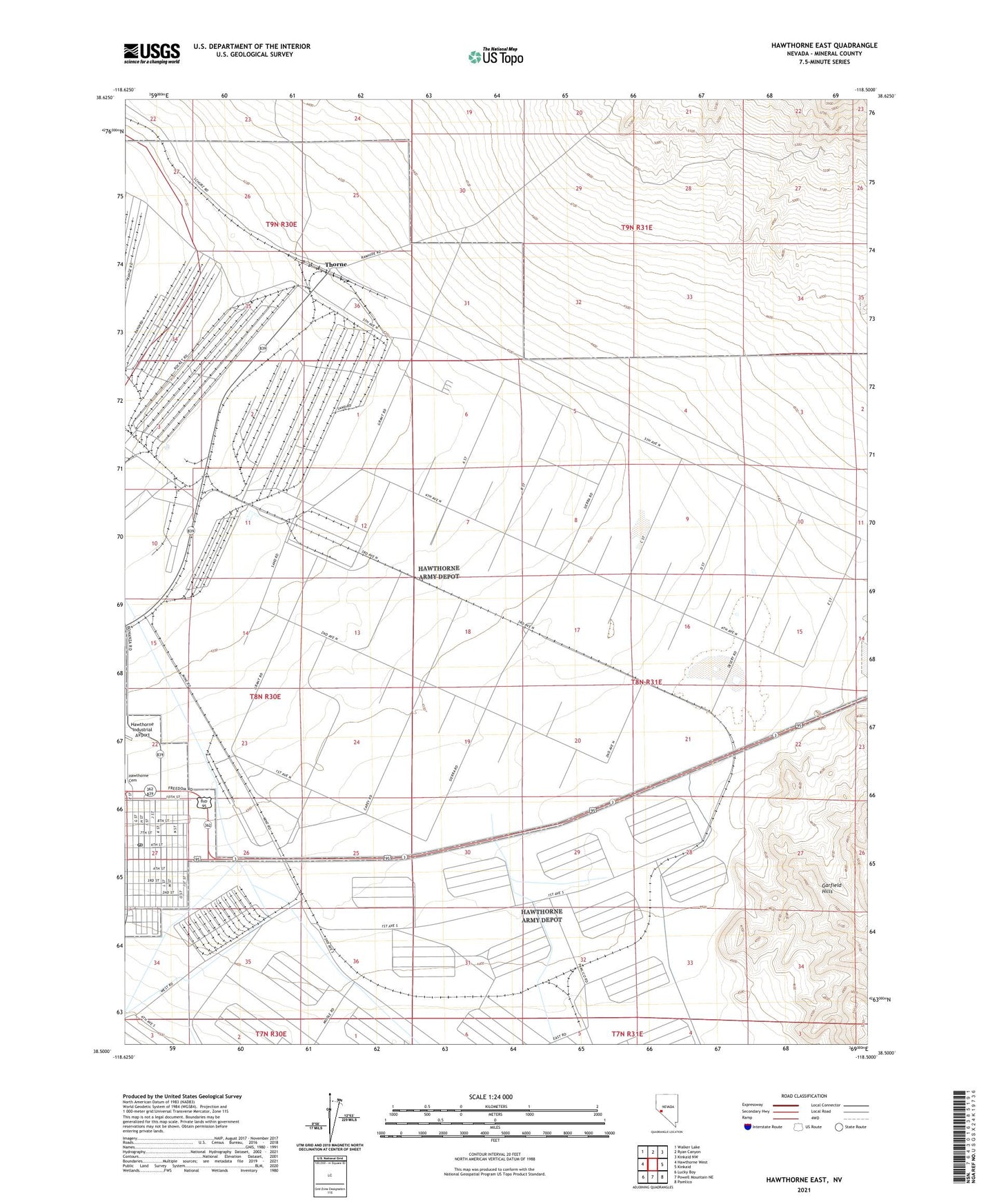
2021 topographic map quadrangle Hawthorne East in the state of Nevada. Scale: 1:24000. Based on the newly updated USGS 7.5' US Topo map series, this map is in the following counties: Mineral. The map contains contour data, water features, and other items you are used to seeing on USGS maps, but also has updated roads and other features. This is the next generation of topographic maps. Printed on high-quality waterproof paper with UV fade-resistant inks.
Quads adjacent to this one:
West: Hawthorne West
Northwest: Walker Lake
North: Ryan Canyon
Northeast: Kinkaid NW
East: Kinkaid
Southeast: Pamlico
South: Powell Mountain NE
Southwest: Lucky Boy
This map covers the same area as the classic USGS quad with code o38118e5.
Contains the following named places: Dover Mine, Dover Siding, Green Talc Mine, Hawthorne, Hawthorne Post Office, Hawthorne Speedway, Thorne, Thorne Post Office