MyTopo
Hog Spring Nevada US Topo Map
Couldn't load pickup availability
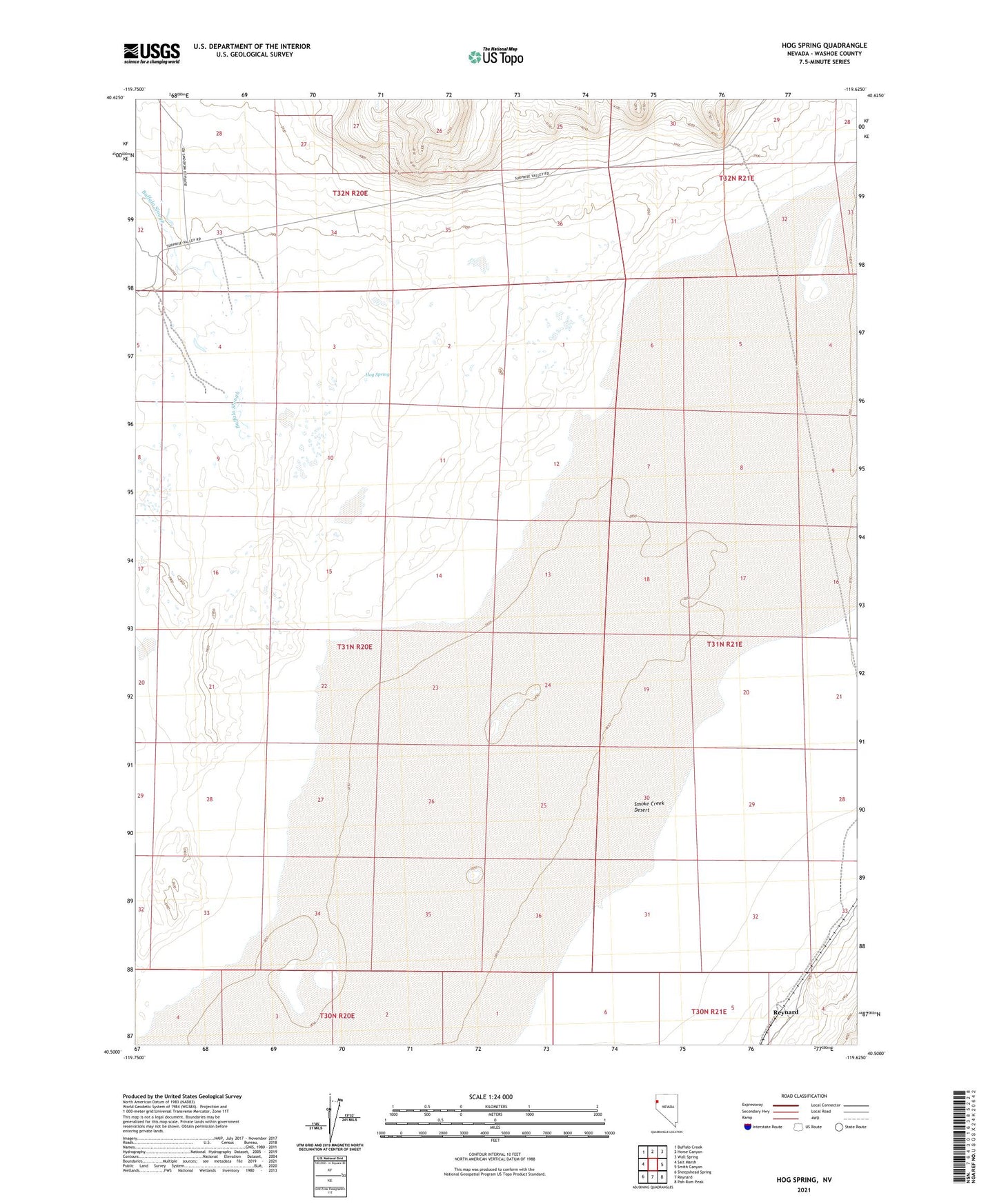
2021 topographic map quadrangle Hog Spring in the state of Nevada. Scale: 1:24000. Based on the newly updated USGS 7.5' US Topo map series, this map is in the following counties: Washoe. The map contains contour data, water features, and other items you are used to seeing on USGS maps, but also has updated roads and other features. This is the next generation of topographic maps. Printed on high-quality waterproof paper with UV fade-resistant inks.
Quads adjacent to this one:
West: Salt Marsh
Northwest: Buffalo Creek
North: Horse Canyon
Northeast: Wall Spring
East: Smith Canyon
Southeast: Pah-Rum Peak
South: Reynard
Southwest: Sheepshead Spring
This map covers the same area as the classic USGS quad with code o40119e6.
Contains the following named places: Buffalo Creek, Buffalo Meadows, Buffalo Meadows Post Office, Buffalo Slough, Buffalo Springs Mining District, Buffalo Springs Salt Works, Hog Spring, Old Heller Ranch, Reynard, Sherman Place