MyTopo
Humboldt Salt Marsh Nevada US Topo Map
Couldn't load pickup availability
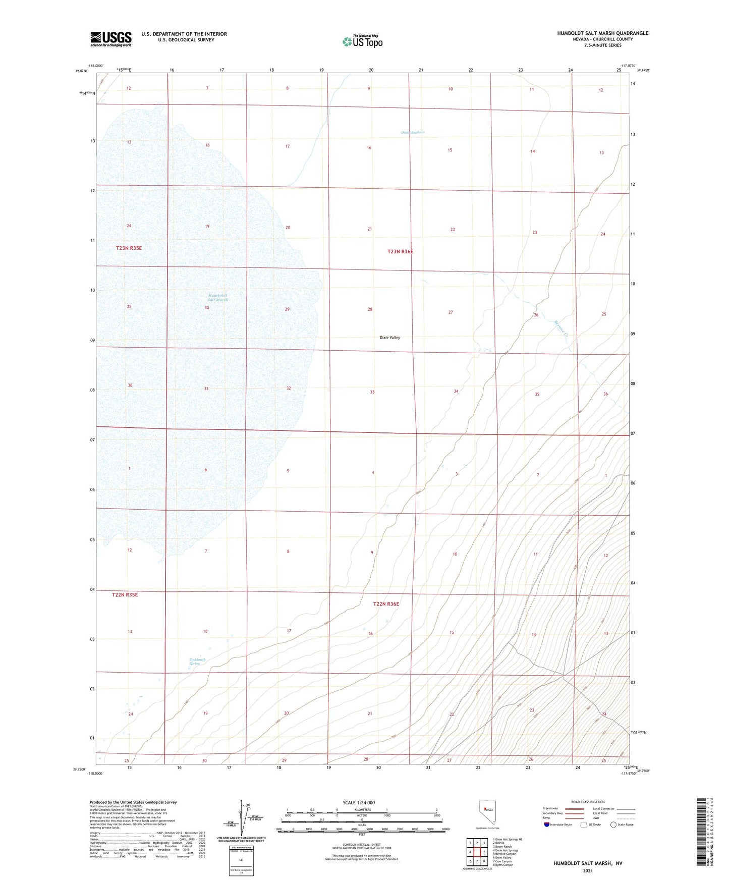
2021 topographic map quadrangle Humboldt Salt Marsh in the state of Nevada. Scale: 1:24000. Based on the newly updated USGS 7.5' US Topo map series, this map is in the following counties: Churchill. The map contains contour data, water features, and other items you are used to seeing on USGS maps, but also has updated roads and other features. This is the next generation of topographic maps. Printed on high-quality waterproof paper with UV fade-resistant inks.
Quads adjacent to this one:
West: Dixie Hot Springs
Northwest: Dixie Hot Springs NE
North: Bolivia
Northeast: Boyer Ranch
East: Bernice Canyon
Southeast: Byers Canyon
South: Cow Canyon
Southwest: Dixie Valley
Contains the following named places: Bernice Creek, Buckbrush Spring, Dixie Marsh Mining District, Dixie Meadows, Dyer Flat Well, Humboldt Salt Marsh, Shoshone Creek, Spring Creek