MyTopo
Boyer Ranch Nevada US Topo Map
Couldn't load pickup availability
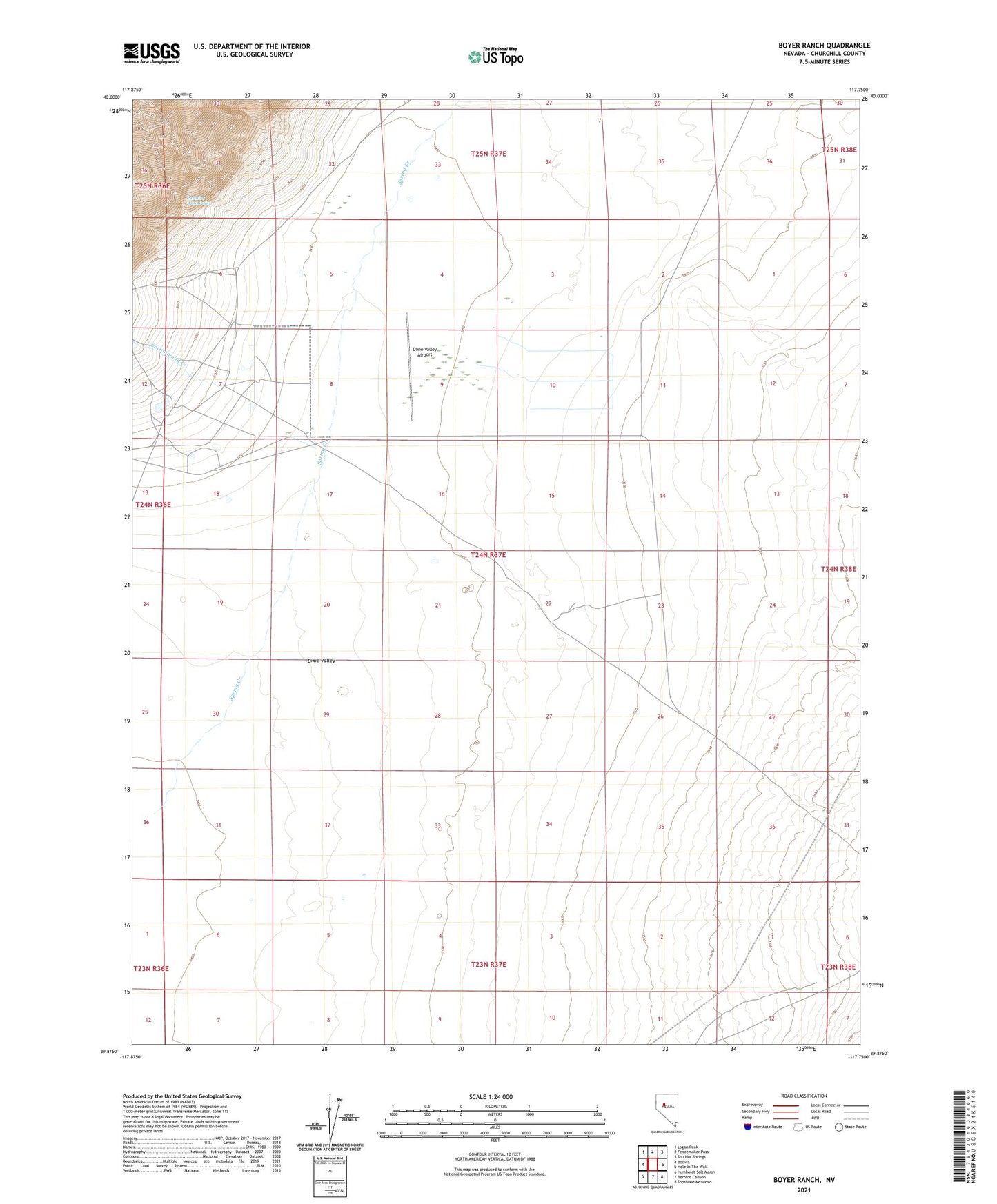
2021 topographic map quadrangle Boyer Ranch in the state of Nevada. Scale: 1:24000. Based on the newly updated USGS 7.5' US Topo map series, this map is in the following counties: Churchill. The map contains contour data, water features, and other items you are used to seeing on USGS maps, but also has updated roads and other features. This is the next generation of topographic maps. Printed on high-quality waterproof paper with UV fade-resistant inks.
Quads adjacent to this one:
West: Bolivia
Northwest: Logan Peak
North: Fencemaker Pass
Northeast: Sou Hot Springs
East: Hole In The Wall
Southeast: Shoshone Meadows
South: Bernice Canyon
Southwest: Humboldt Salt Marsh
This map covers the same area as the classic USGS quad with code o39117h7.
Contains the following named places: Boyer, Boyer Post Office, Boyer Ranch, Cottonwood Creek, Dixie Valley Airport, Senator Fumaroles, Senator Mine