MyTopo
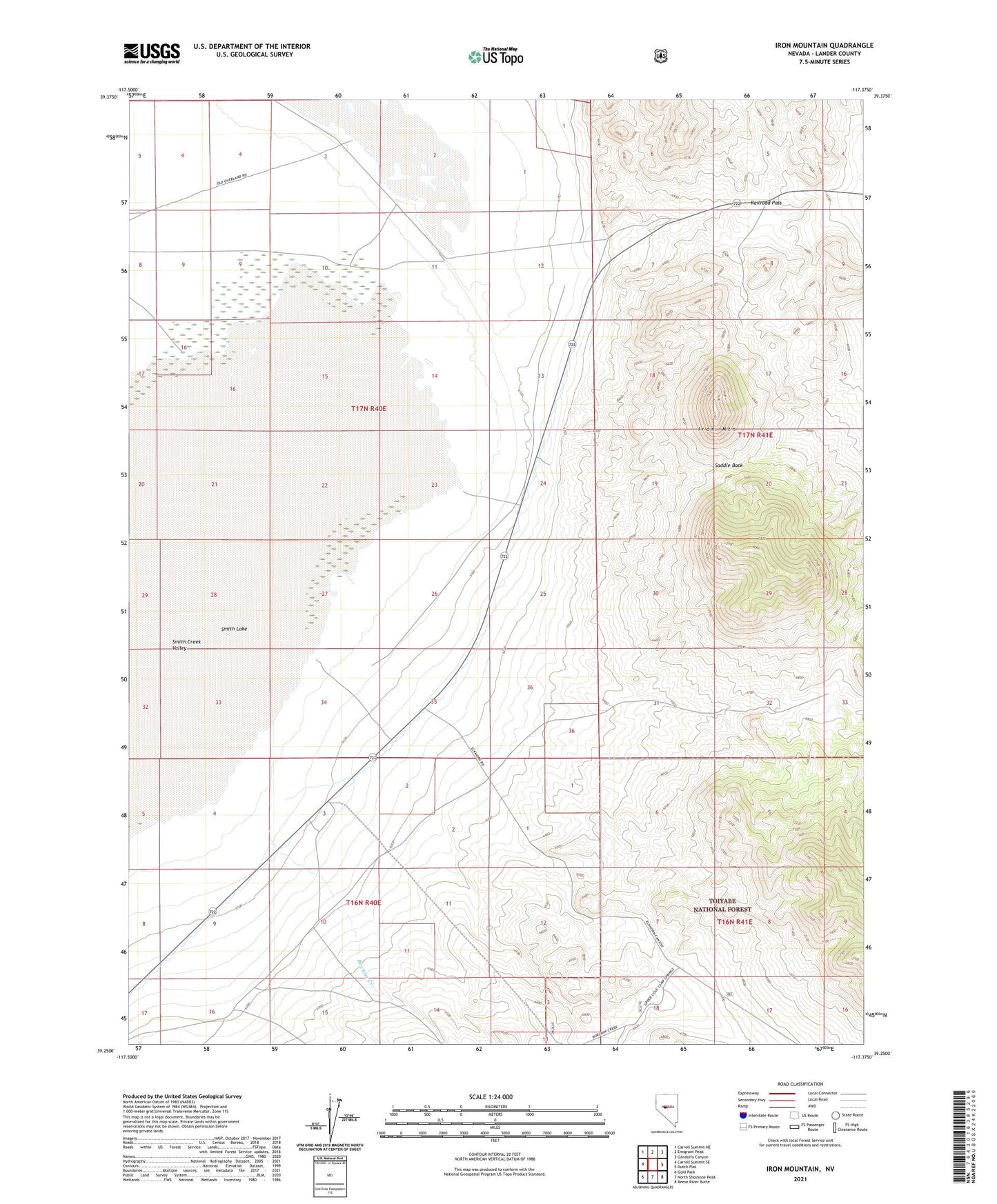
Iron Mountain Nevada US Topo Map
Couldn't load pickup availability
Also explore the Iron Mountain Forest Service Topo of this same quad for updated USFS data
2021 topographic map quadrangle Iron Mountain in the state of Nevada. Scale: 1:24000. Based on the newly updated USGS 7.5' US Topo map series, this map is in the following counties: Lander. The map contains contour data, water features, and other items you are used to seeing on USGS maps, but also has updated roads and other features. This is the next generation of topographic maps. Printed on high-quality waterproof paper with UV fade-resistant inks.
Quads adjacent to this one:
West: Carroll Summit SE
Northwest: Carroll Summit NE
North: Emigrant Peak
Northeast: Gandolfo Canyon
East: Dutch Flat
Southeast: Reese River Butte
South: North Shoshone Peak
Southwest: Gold Park
This map covers the same area as the classic USGS quad with code o39117c4.
Contains the following named places: Birchim Creek, Brown Well, Iron Mountain, Railroad Pass, Saddle Back, Smith Creek Valley