MyTopo
Coaldale NE Nevada US Topo Map
Couldn't load pickup availability
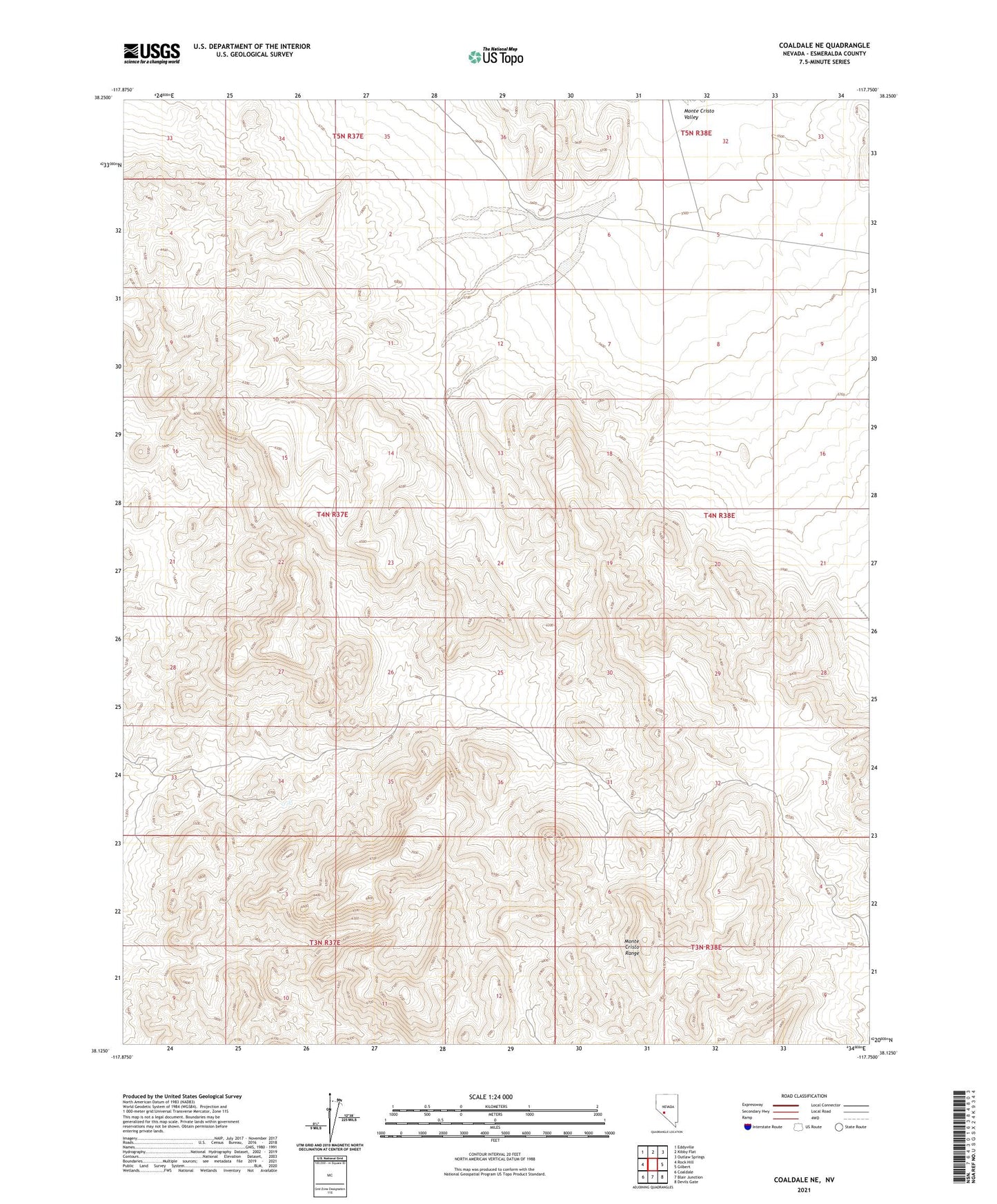
2021 topographic map quadrangle Coaldale NE in the state of Nevada. Scale: 1:24000. Based on the newly updated USGS 7.5' US Topo map series, this map is in the following counties: Esmeralda. The map contains contour data, water features, and other items you are used to seeing on USGS maps, but also has updated roads and other features. This is the next generation of topographic maps. Printed on high-quality waterproof paper with UV fade-resistant inks.
Quads adjacent to this one:
West: Rock Hill
Northwest: Eddyville
North: Kibby Flat
Northeast: Outlaw Springs
East: Gilbert
Southeast: Devils Gate
South: Blair Junction
Southwest: Coaldale
This map covers the same area as the classic USGS quad with code o38117b7.
Contains the following named places: Monte Cristo Range