MyTopo
Klondike Nevada US Topo Map
Couldn't load pickup availability
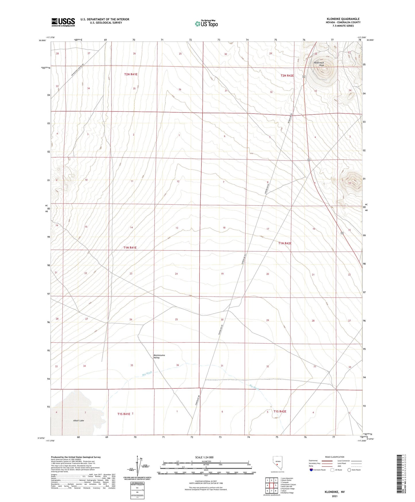
2021 topographic map quadrangle Klondike in the state of Nevada. Scale: 1:24000. Based on the newly updated USGS 7.5' US Topo map series, this map is in the following counties: Esmeralda. The map contains contour data, water features, and other items you are used to seeing on USGS maps, but also has updated roads and other features. This is the next generation of topographic maps. Printed on high-quality waterproof paper with UV fade-resistant inks.
Quads adjacent to this one:
West: Paymaster Canyon
Northwest: Lone Mountain
North: Mount Butte
Northeast: Tonopah
East: Mud Lake NW
Southeast: McMahon Ridge
South: Alkali
Southwest: Paymaster Ridge
Contains the following named places: Big Wash, Hasbrouck Peak, Klondike, Klondike Post Office, Klondike Well, Montezuma Valley, Tonopah Hasbrouck Mine