MyTopo
Paymaster Ridge Nevada US Topo Map
Couldn't load pickup availability
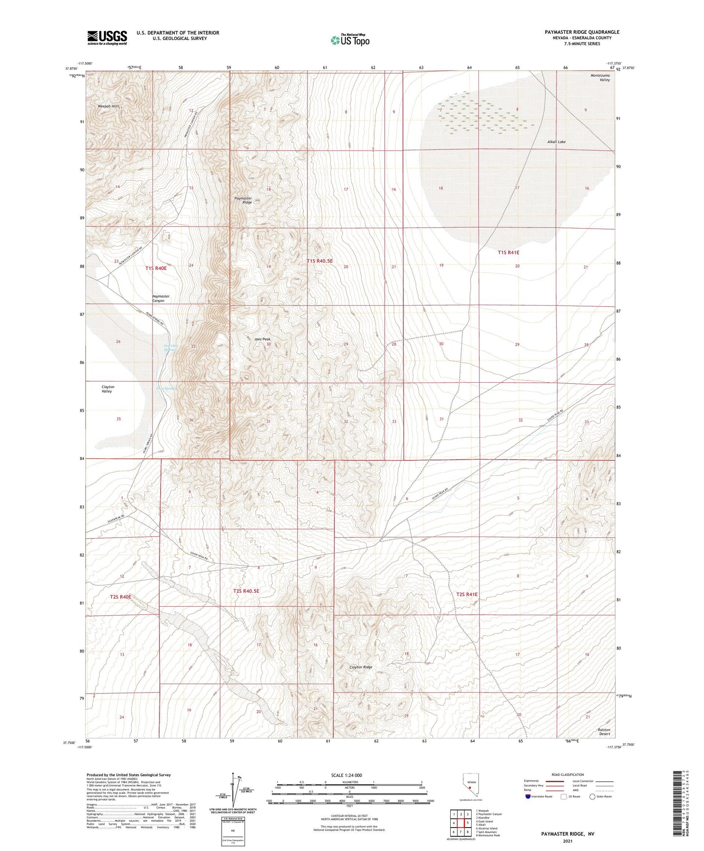
2021 topographic map quadrangle Paymaster Ridge in the state of Nevada. Scale: 1:24000. Based on the newly updated USGS 7.5' US Topo map series, this map is in the following counties: Esmeralda. The map contains contour data, water features, and other items you are used to seeing on USGS maps, but also has updated roads and other features. This is the next generation of topographic maps. Printed on high-quality waterproof paper with UV fade-resistant inks.
Quads adjacent to this one:
West: Goat Island
Northwest: Weepah
North: Paymaster Canyon
Northeast: Klondike
East: Alkali
Southeast: Montezuma Peak
South: Split Mountain
Southwest: Alcatraz Island
This map covers the same area as the classic USGS quad with code o37117g4.
Contains the following named places: Alkali Lake, Joes Peak, Paymaster Camp, Paymaster Canyon, Paymaster Ridge, Pearl Hot Springs, Twin Springs