MyTopo
Lone Mountain Nevada US Topo Map
Couldn't load pickup availability
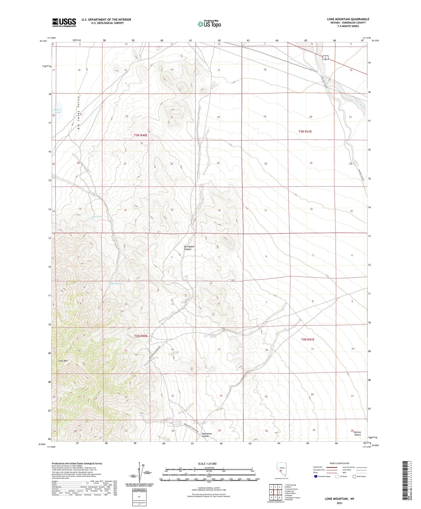
2021 topographic map quadrangle Lone Mountain in the state of Nevada. Scale: 1:24000. Based on the newly updated USGS 7.5' US Topo map series, this map is in the following counties: Esmeralda. The map contains contour data, water features, and other items you are used to seeing on USGS maps, but also has updated roads and other features. This is the next generation of topographic maps. Printed on high-quality waterproof paper with UV fade-resistant inks.
Quads adjacent to this one:
West: Gilbert SE
Northwest: Crow Springs
North: Millers
Northeast: Crescent Dunes
East: Mount Butte
Southeast: Klondike
South: Paymaster Canyon
Southwest: Weepah
This map covers the same area as the classic USGS quad with code o38117a4.
Contains the following named places: Davids Well, Goldfield Junction, Heidi Mine, Lobo Spring, Lone Mountain, Main Line Junction, Mainline Well, Mikes Well, Millers Pond, Slime Wash, Springdale Canyon, Willow Spring