MyTopo
Marys River Basin NE Nevada US Topo Map
Couldn't load pickup availability
Also explore the Marys River Basin NE Forest Service Topo of this same quad for updated USFS data
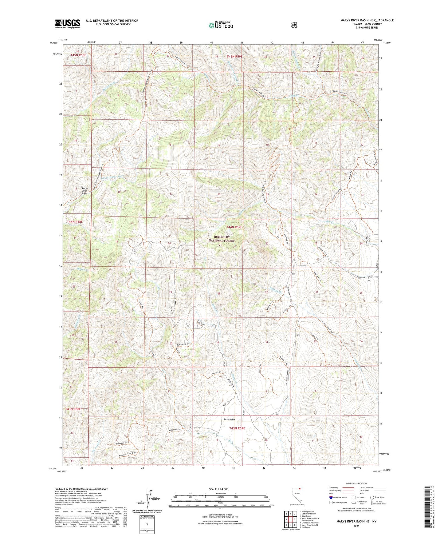
2021 topographic map quadrangle Marys River Basin NE in the state of Nevada. Scale: 1:24000. Based on the newly updated USGS 7.5' US Topo map series, this map is in the following counties: Elko. The map contains contour data, water features, and other items you are used to seeing on USGS maps, but also has updated roads and other features. This is the next generation of topographic maps. Printed on high-quality waterproof paper with UV fade-resistant inks.
Quads adjacent to this one:
West: Marys River Basin NW
Northwest: Jarbidge South
North: Gods Pocket Peak
Northeast: Goat Creek
East: Sun Creek NW
Southeast: Hot Creek
South: Marys River Basin SE
Southwest: Charleston Reservoir
This map covers the same area as the classic USGS quad with code o41115f3.
Contains the following named places: Marys River Basin, North Fork Camp Creek, Pete Basin, Right Fork Camp Creek, Smiths Camp, Wildcat Guard Station