MyTopo
Millers Nevada US Topo Map
Couldn't load pickup availability
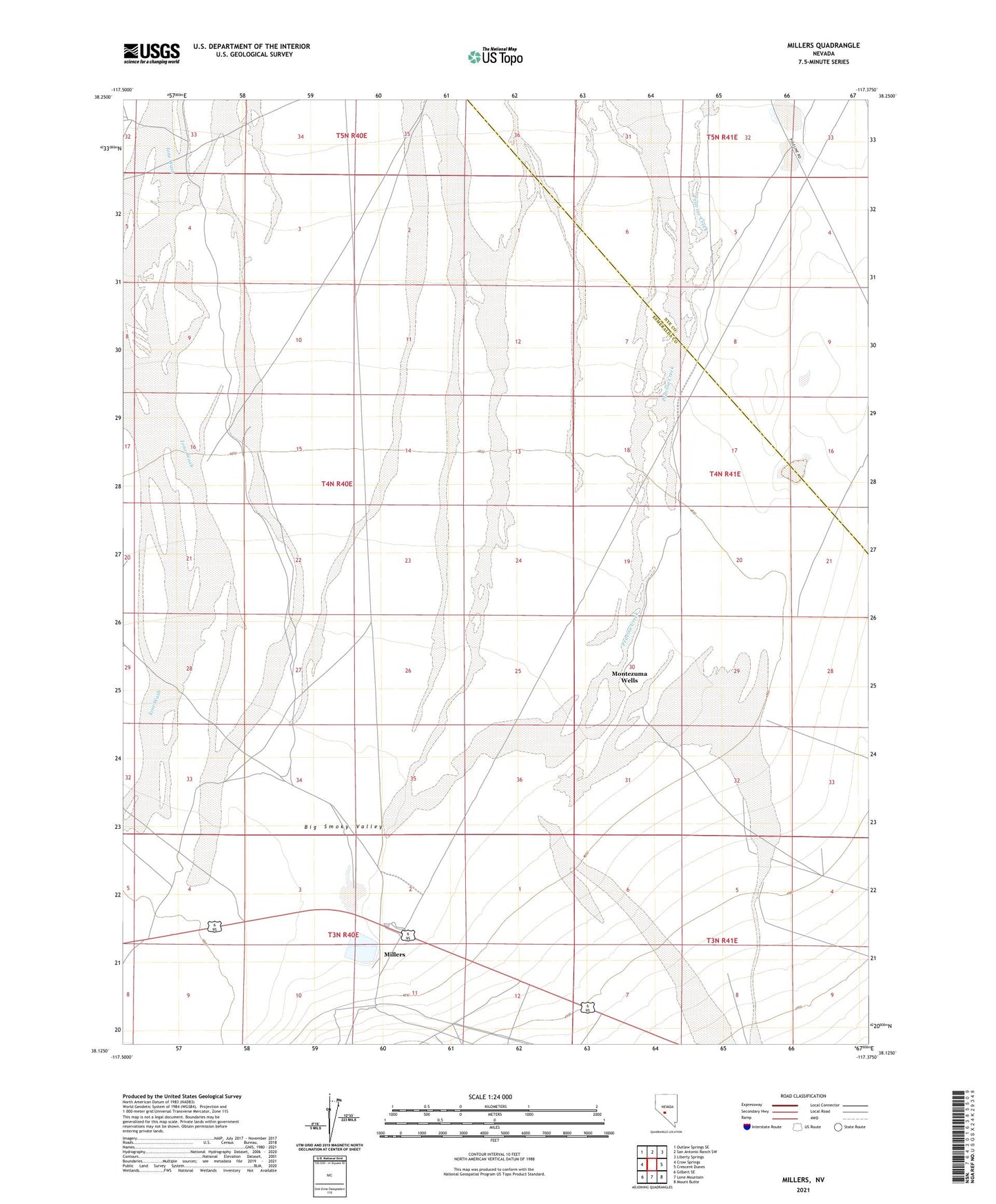
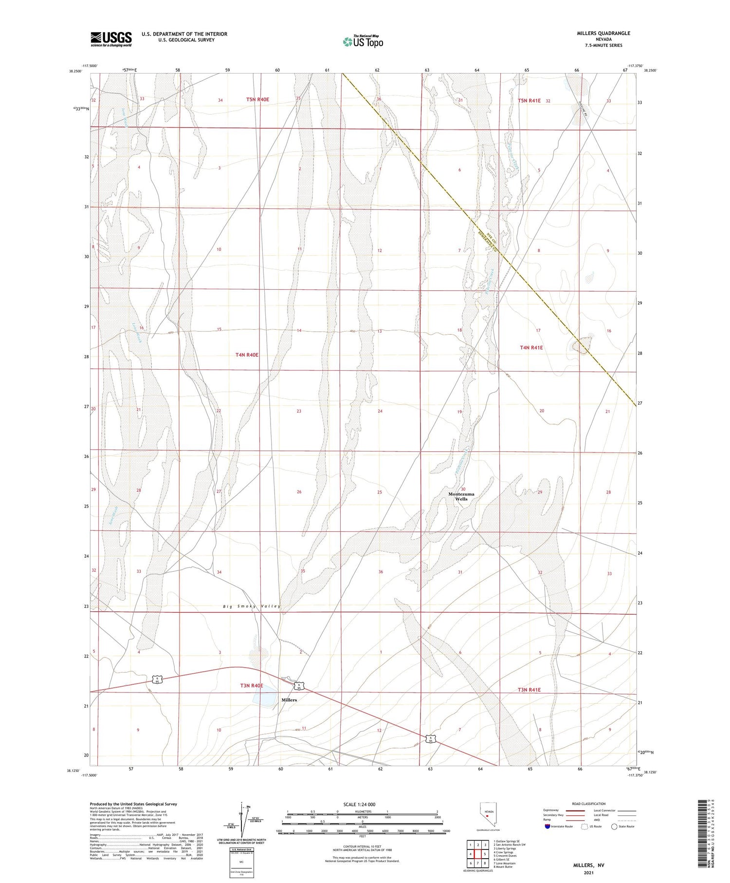
2021 topographic map quadrangle Millers in the state of Nevada. Scale: 1:24000. Based on the newly updated USGS 7.5' US Topo map series, this map is in the following counties: Esmeralda, Nye. The map contains contour data, water features, and other items you are used to seeing on USGS maps, but also has updated roads and other features. This is the next generation of topographic maps. Printed on high-quality waterproof paper with UV fade-resistant inks.
Quads adjacent to this one:
West: Crow Springs
Northwest: Outlaw Springs SE
North: San Antonio Ranch SW
Northeast: Liberty Springs
East: Crescent Dunes
Southeast: Mount Butte
South: Lone Mountain
Southwest: Gilbert SE
Contains the following named places: Desert Power and Milling Company Mill, Liberty Pit, Millers, Millers Post Office, Millers Rest Area, Montezuma Wells, Peavine Creek, Rogers Well, Tonopah Belmont Mill