MyTopo
Mineral Peak Nevada US Topo Map
Couldn't load pickup availability
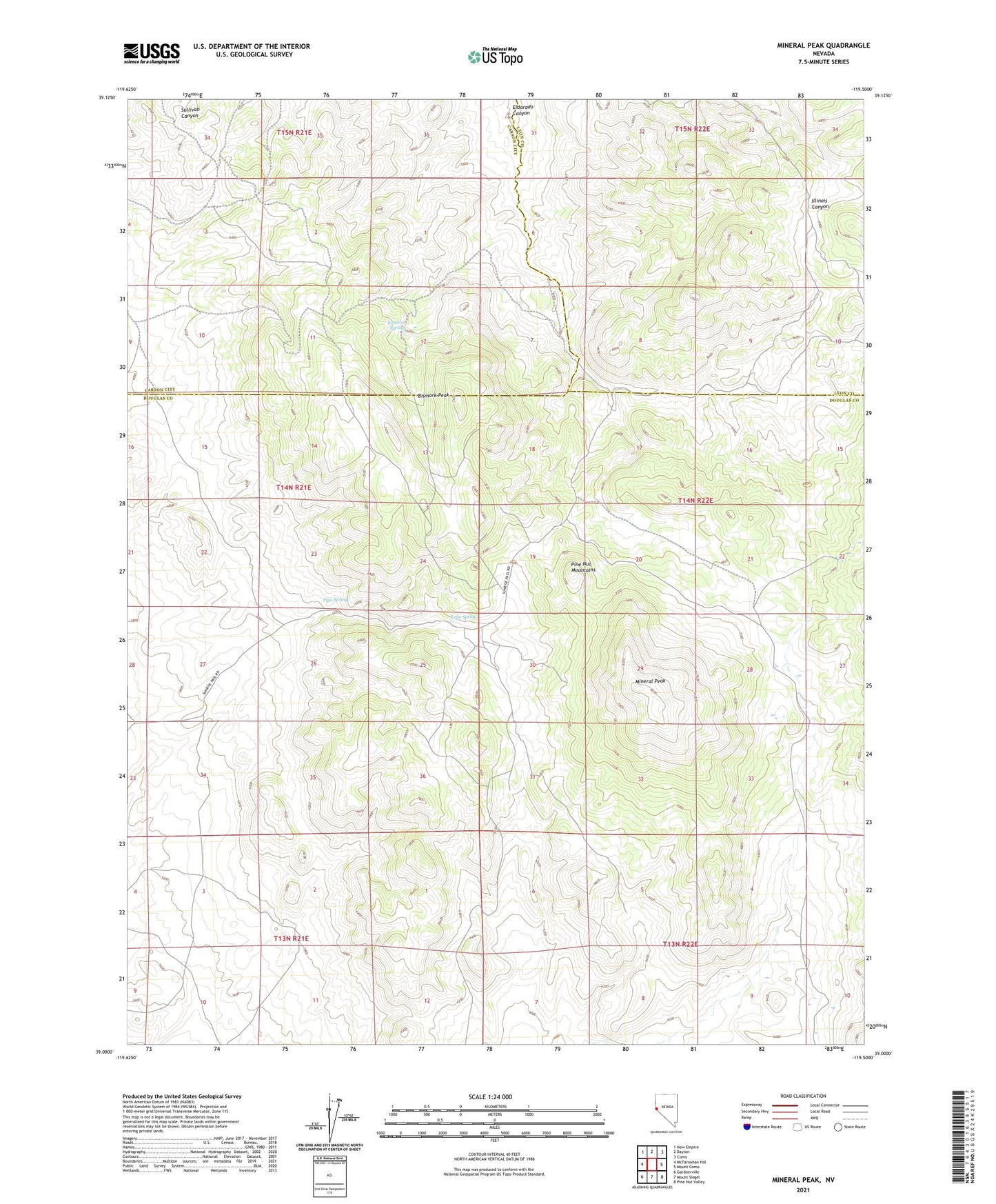
2021 topographic map quadrangle Mineral Peak in the state of Nevada. Scale: 1:24000. Based on the newly updated USGS 7.5' US Topo map series, this map is in the following counties: Douglas, Carson City (city), Lyon. The map contains contour data, water features, and other items you are used to seeing on USGS maps, but also has updated roads and other features. This is the next generation of topographic maps. Printed on high-quality waterproof paper with UV fade-resistant inks.
Quads adjacent to this one:
West: McTarnahan Hill
Northwest: New Empire
North: Dayton
Northeast: Como
East: Mount Como
Southeast: Pine Nut Valley
South: Mount Siegel
Southwest: Gardnerville
Contains the following named places: Bismark Peak, Burbank, Copper King Mine, Erastra Spring, June Ellen Mine, Lebo Spring, Mineral Peak, Mineral Valley, Pine Nut Mountains, Pipe Spring, United Mine, Utopian Mine