MyTopo
Mohawk Mine Nevada US Topo Map
Couldn't load pickup availability
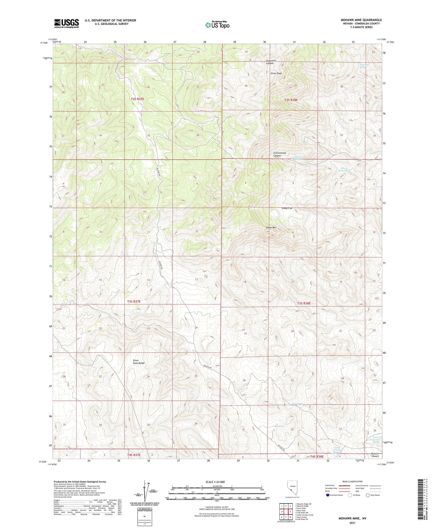
2021 topographic map quadrangle Mohawk Mine in the state of Nevada. Scale: 1:24000. Based on the newly updated USGS 7.5' US Topo map series, this map is in the following counties: Esmeralda. The map contains contour data, water features, and other items you are used to seeing on USGS maps, but also has updated roads and other features. This is the next generation of topographic maps. Printed on high-quality waterproof paper with UV fade-resistant inks.
Quads adjacent to this one:
West: Piper Peak
Northwest: Rhyolite Ridge SW
North: Rhyolite Ridge
Northeast: Silver Peak
East: Lida Wash NW
Southeast: Lida Wash SW
South: Oasis Divide
Southwest: Indian Garden Creek
This map covers the same area as the classic USGS quad with code o37117f7.
Contains the following named places: Big Spring, Company Spring, Cone Spring, Cottonwood Springs, Desert Silver Mill, Ebley Tunnel, Inman Group Mine, Lower Cowcamp Spring, Mohawk Mine, Nivloc, Nivloc Mine, Nivloc Post Office, Sanger Mine, Sheep Flat, Sheep Mountain, Silver Peak, Silver Peak Pond, Silver Peak Range, Sixteen-To-One Mine, Upper Cowcamp Spring