MyTopo
Indian Garden Creek California US Topo Map
Couldn't load pickup availability
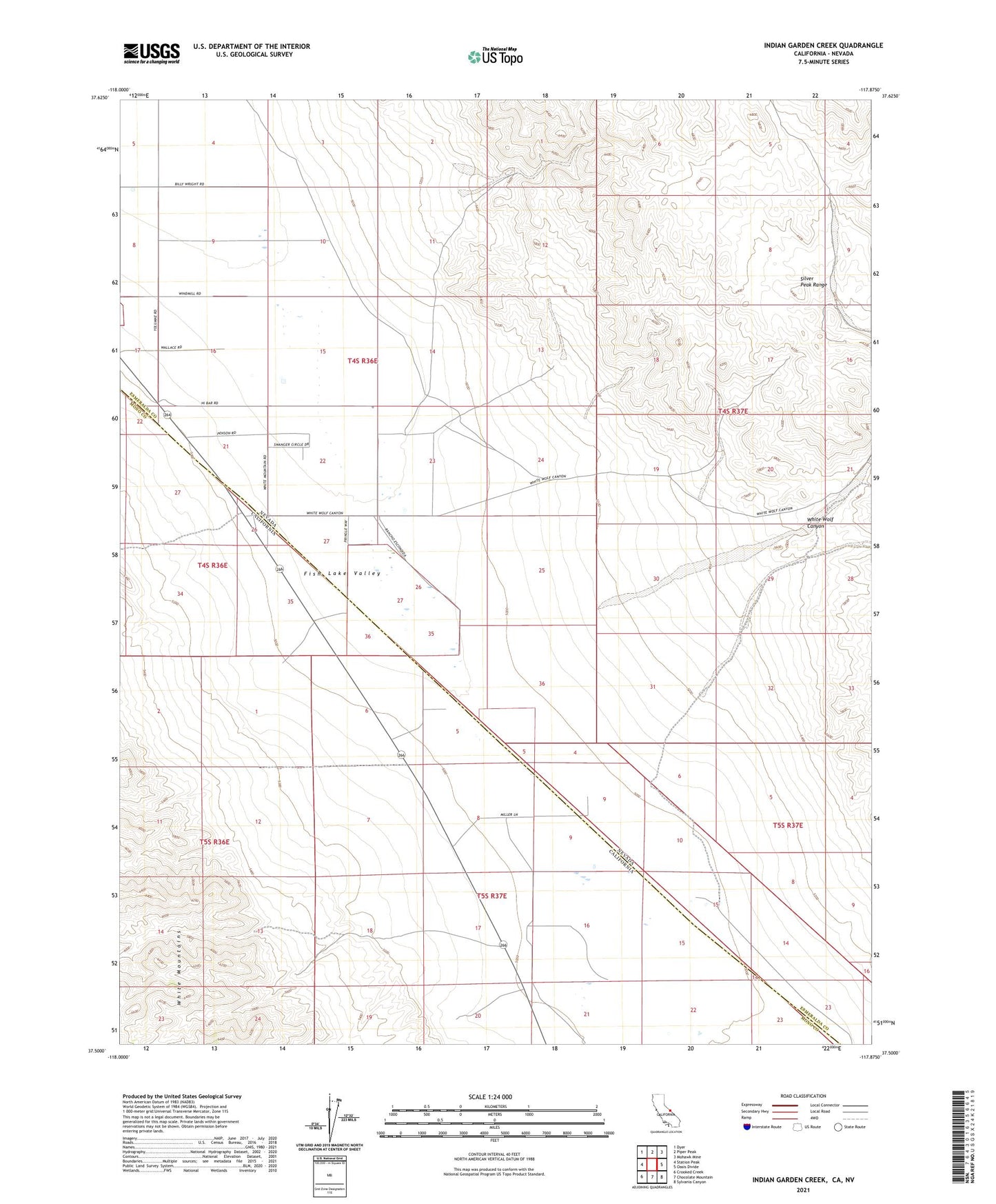
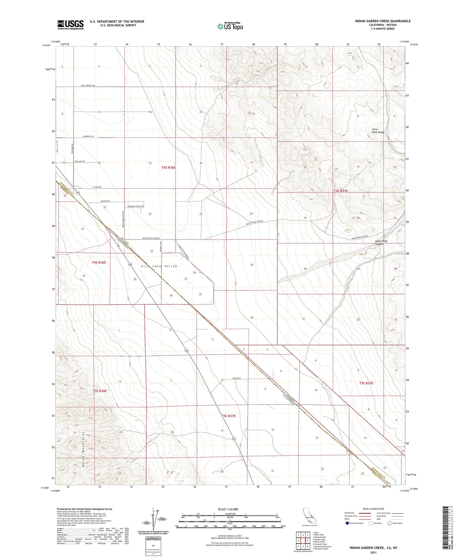
2021 topographic map quadrangle Indian Garden Creek in the states of California, Nevada. Scale: 1:24000. Based on the newly updated USGS 7.5' US Topo map series, this map is in the following counties: Mono, Esmeralda. The map contains contour data, water features, and other items you are used to seeing on USGS maps, but also has updated roads and other features. This is the next generation of topographic maps. Printed on high-quality waterproof paper with UV fade-resistant inks.
Quads adjacent to this one:
West: Station Peak
Northwest: Dyer
North: Piper Peak
Northeast: Mohawk Mine
East: Oasis Divide
Southeast: Sylvania Canyon
South: Chocolate Mountain
Southwest: Crooked Creek
Contains the following named places: Fish Lake Valley Wash, Good Hope Mine, Good Hope Mining District, Indian Garden Creek, Lookout Mine, White Wolf Canyon