MyTopo
Mount Schader Nevada US Topo Map
Couldn't load pickup availability
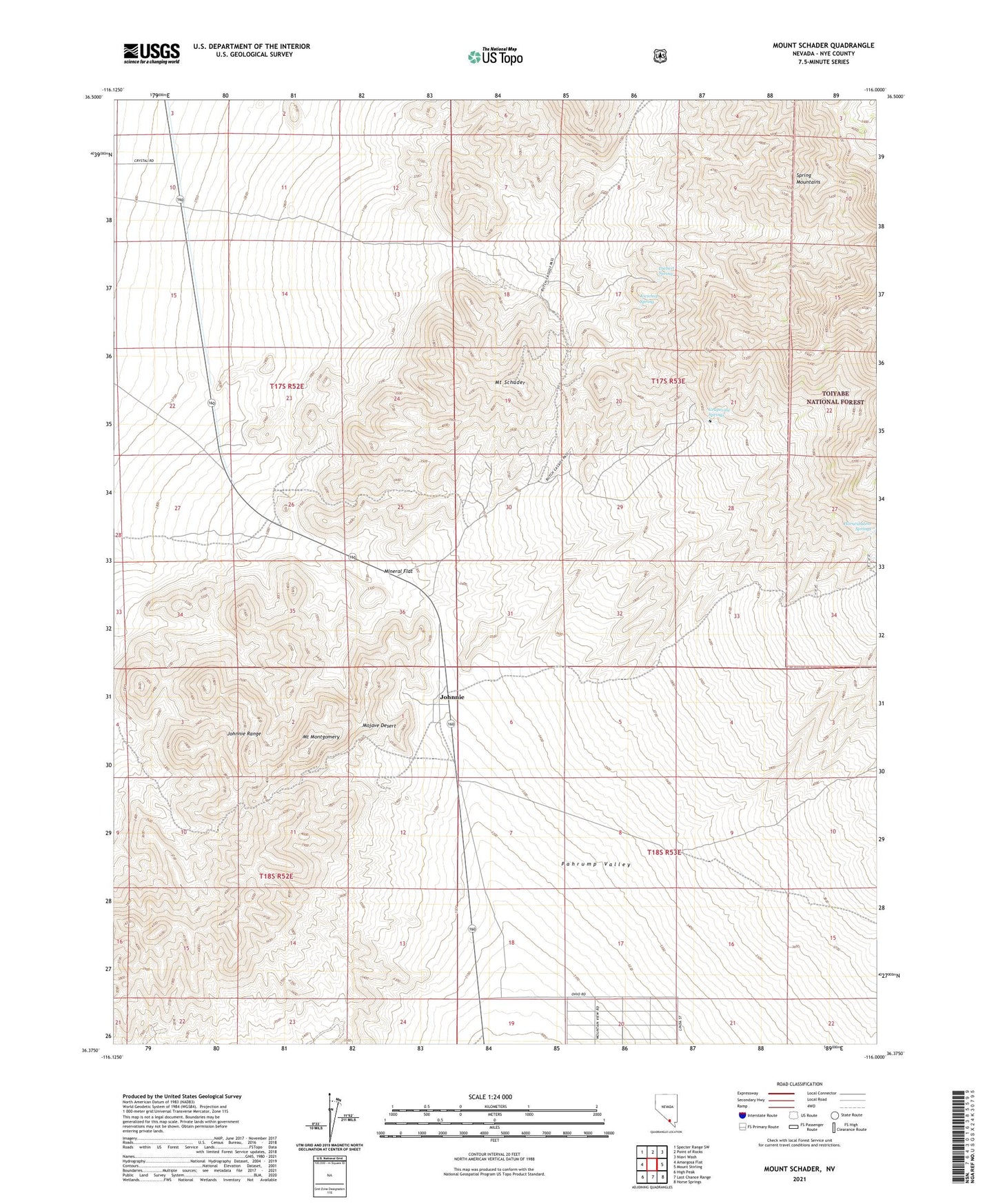
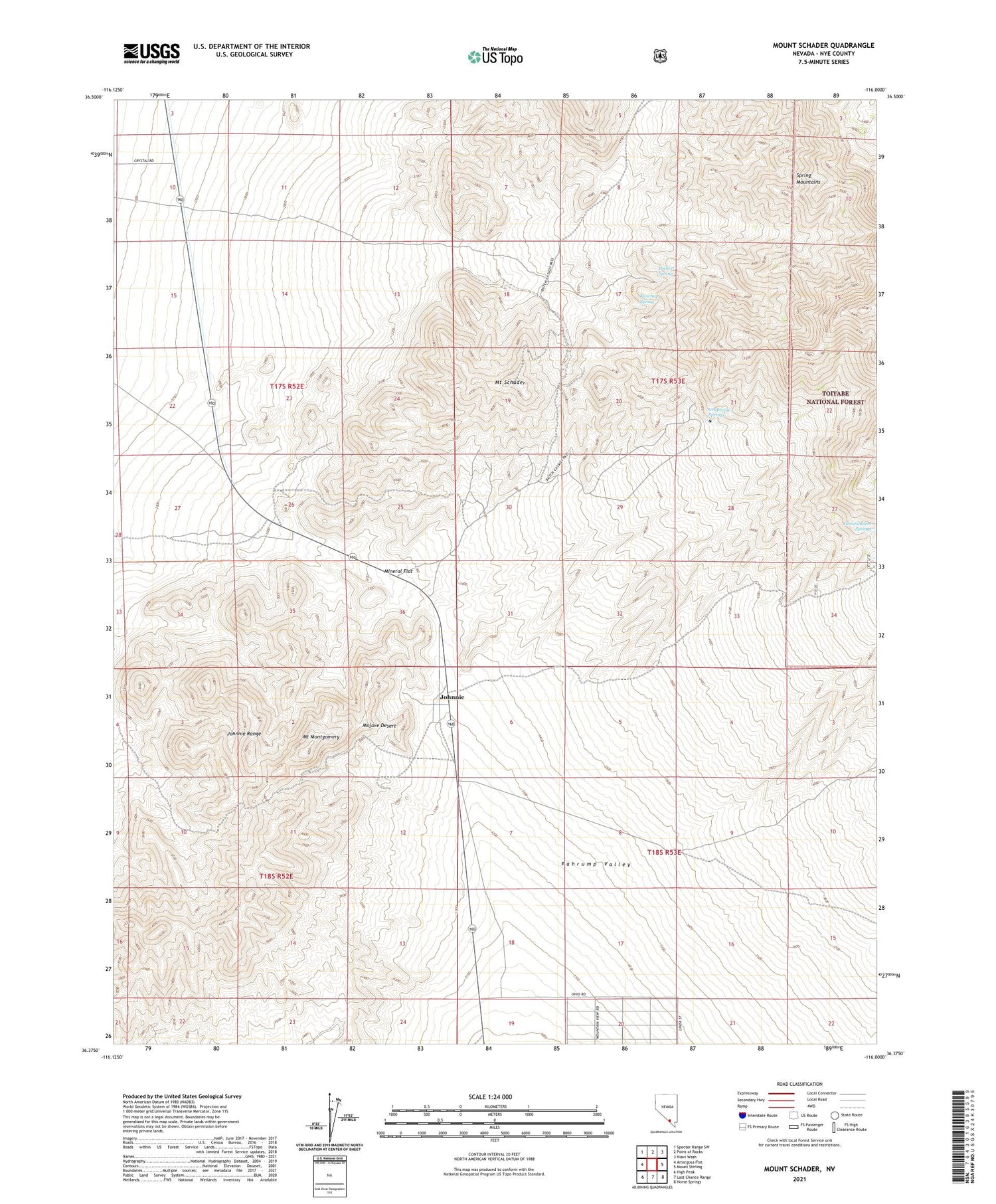
2021 topographic map quadrangle Mount Schader in the state of Nevada. Scale: 1:24000. Based on the newly updated USGS 7.5' US Topo map series, this map is in the following counties: Nye. The map contains contour data, water features, and other items you are used to seeing on USGS maps, but also has updated roads and other features. This is the next generation of topographic maps. Printed on high-quality waterproof paper with UV fade-resistant inks.
Quads adjacent to this one:
West: Amargosa Flat
Northwest: Specter Range SW
North: Point of Rocks
Northeast: Niavi Wash
East: Mount Stirling
Southeast: Horse Springs
South: Last Chance Range
Southwest: High Peak
Contains the following named places: Black Jack Mine, Bowlerville, Congress Mine, Crystal Division, Diebert Spring, Fred Bowlers Mine, Grapevine Springs, Horseshutem Springs, Johnnie, Johnnie Mine, Johnnie Mine Post Office, Johnnie Mining District, Johnnie Post Office, Johnnie Range, Kwichup Spring, Labbe Camp, Labbe Mine, Mineral Flat, Mount Montgomery, Mount Schader, Overfield Mine, Pahrump Division, ZIP Code: 89060