MyTopo
Amargosa Flat Nevada US Topo Map
Couldn't load pickup availability
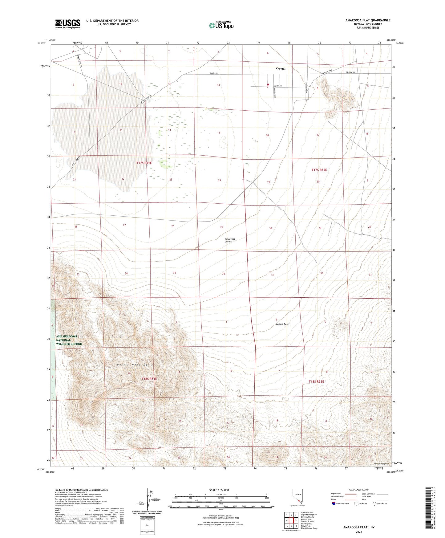
2021 topographic map quadrangle Amargosa Flat in the state of Nevada. Scale: 1:24000. Based on the newly updated USGS 7.5' US Topo map series, this map is in the following counties: Nye. The map contains contour data, water features, and other items you are used to seeing on USGS maps, but also has updated roads and other features. This is the next generation of topographic maps. Printed on high-quality waterproof paper with UV fade-resistant inks.
Quads adjacent to this one:
West: Devils Hole
Northwest: Skeleton Hills
North: Specter Range SW
Northeast: Point of Rocks
East: Mount Schader
Southeast: Last Chance Range
South: High Peak
Southwest: Bole Spring
This map covers the same area as the classic USGS quad with code o36116d2.
Contains the following named places: Amargosa Flat, Crystal, Crystal Fire Department