MyTopo
Natchez Spring Nevada US Topo Map
Couldn't load pickup availability
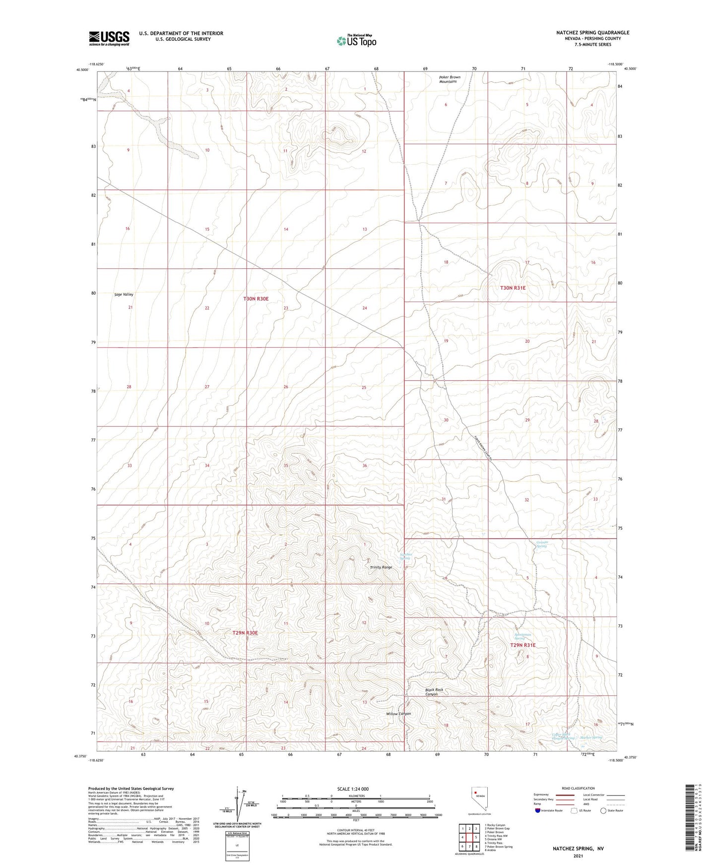
2021 topographic map quadrangle Natchez Spring in the state of Nevada. Scale: 1:24000. Based on the newly updated USGS 7.5' US Topo map series, this map is in the following counties: Pershing. The map contains contour data, water features, and other items you are used to seeing on USGS maps, but also has updated roads and other features. This is the next generation of topographic maps. Printed on high-quality waterproof paper with UV fade-resistant inks.
Quads adjacent to this one:
West: Trinity Pass NW
Northwest: Rocky Canyon
North: Poker Brown Gap
Northeast: Poker Brown
East: Oreana NW
Southeast: Arabia
South: Poker Brown Spring
Southwest: Trinity Pass
Contains the following named places: Esther Mine, Granite Spring, Marker Spring, Natchez Spring, Poker Brown Camp, San Joaquinto, Sportsman Spring, Upper Black Canyon Spring