MyTopo
Poker Brown Nevada US Topo Map
Couldn't load pickup availability
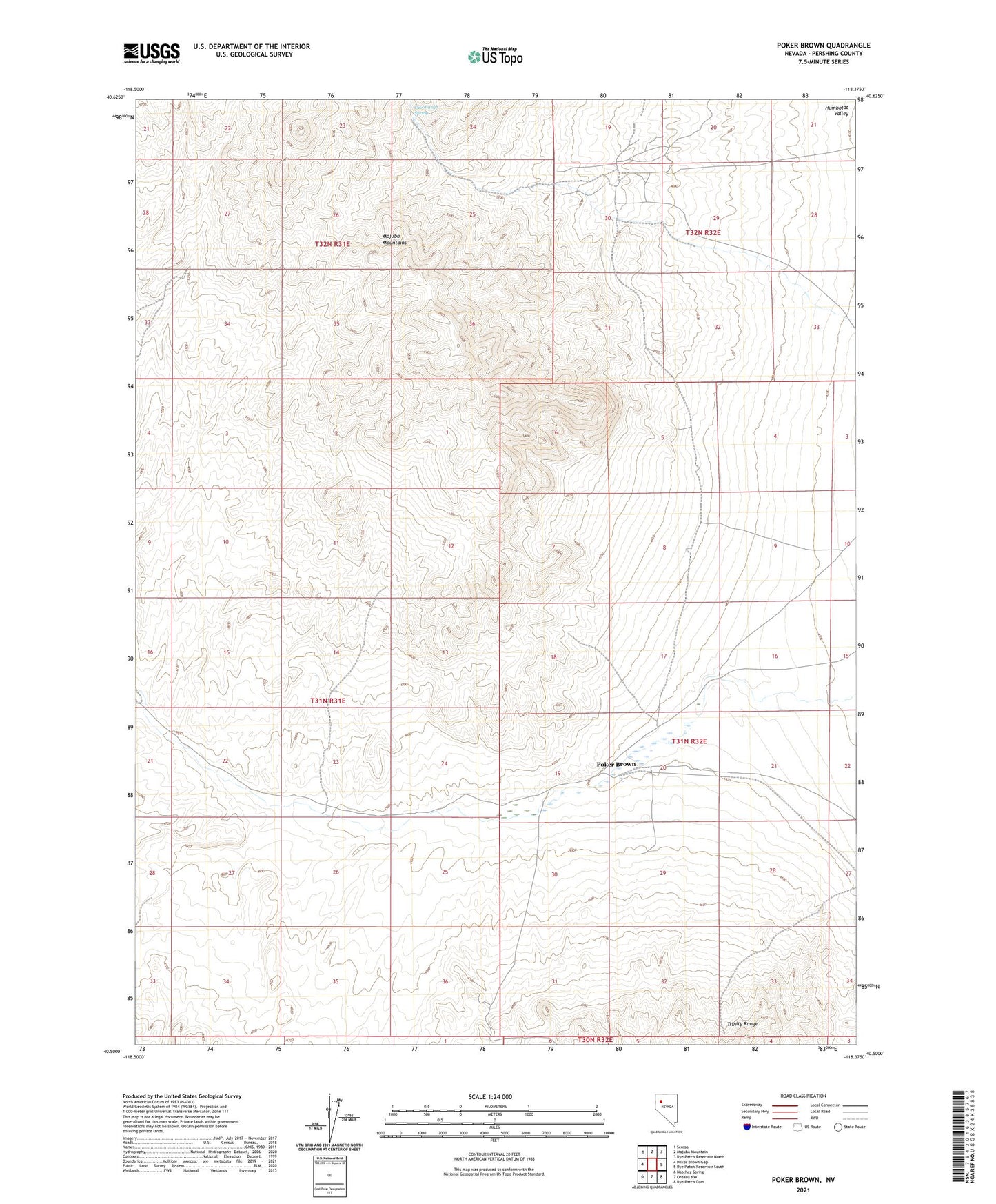
2021 topographic map quadrangle Poker Brown in the state of Nevada. Scale: 1:24000. Based on the newly updated USGS 7.5' US Topo map series, this map is in the following counties: Pershing. The map contains contour data, water features, and other items you are used to seeing on USGS maps, but also has updated roads and other features. This is the next generation of topographic maps. Printed on high-quality waterproof paper with UV fade-resistant inks.
Quads adjacent to this one:
West: Poker Brown Gap
Northwest: Scossa
North: Majuba Mountain
Northeast: Rye Patch Reservoir North
East: Rye Patch Reservoir South
Southeast: Rye Patch Dam
South: Oreana NW
Southwest: Natchez Spring
This map covers the same area as the classic USGS quad with code o40118e4.
Contains the following named places: Bottomley Mine, Cavanaugh Spring, Delta Mine, Dice Mine, Majuba Placers, Owens Circle Mine, Poker Brown, Poker Brown Mine, Rio Grande Mine, San Jacinto Mining District, Valley View Mine