MyTopo
North of Eureka Nevada US Topo Map
Couldn't load pickup availability
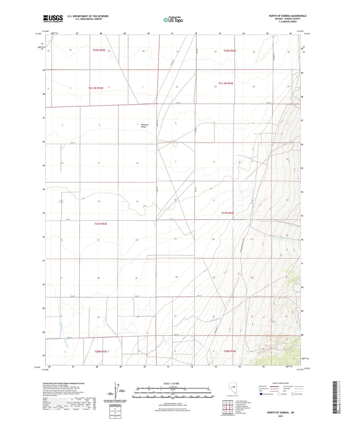
2021 topographic map quadrangle North of Eureka in the state of Nevada. Scale: 1:24000. Based on the newly updated USGS 7.5' US Topo map series, this map is in the following counties: Eureka. The map contains contour data, water features, and other items you are used to seeing on USGS maps, but also has updated roads and other features. This is the next generation of topographic maps. Printed on high-quality waterproof paper with UV fade-resistant inks.
Quads adjacent to this one:
West: Whistler Mountain
Northwest: Tule Dam Spring
North: West of Christina Peak
Northeast: Christina Peak
East: Rattlesnake Mountain
Southeast: Diamond Peak
South: Eureka
Southwest: Devon Peak
Contains the following named places: Cottonwood Creek, Minoletti Creek, Pedrioli Creek, Simpson Creek, Slough Creek, Torre Creek