MyTopo
Tule Dam Spring Nevada US Topo Map
Couldn't load pickup availability
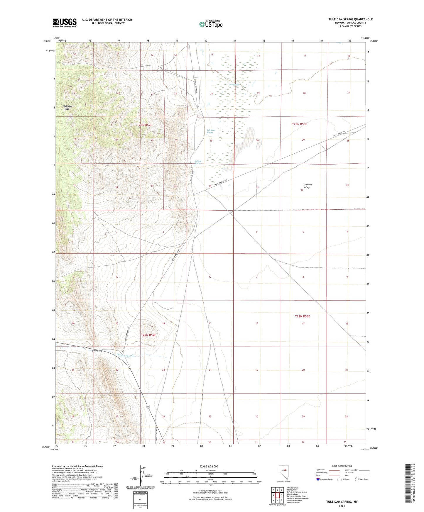
2021 topographic map quadrangle Tule Dam Spring in the state of Nevada. Scale: 1:24000. Based on the newly updated USGS 7.5' US Topo map series, this map is in the following counties: Eureka. The map contains contour data, water features, and other items you are used to seeing on USGS maps, but also has updated roads and other features. This is the next generation of topographic maps. Printed on high-quality waterproof paper with UV fade-resistant inks.
Quads adjacent to this one:
West: Garden Pass
Northwest: Frazier Creek
North: Bailey Pass
Northeast: West of Diamond Springs
East: West of Christina Peak
Southeast: North of Eureka
South: Whistler Mountain
Southwest: West of Whistler Mountain
This map covers the same area as the classic USGS quad with code o39116g1.
Contains the following named places: Garden Pass Creek, Gordon Pass, Mulligan Gap, Sulpher Springs Ranch, Sulphur Spring, Sulphur Springs Station, Tule Dam Spring, Tule Marsh, Tyrone Gap, View Well