MyTopo
Overton Nevada US Topo Map
Couldn't load pickup availability
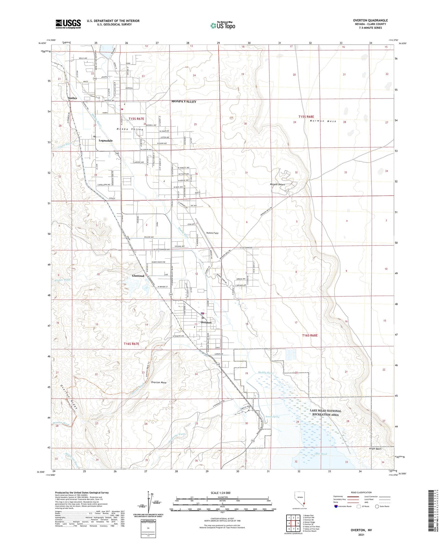
2021 topographic map quadrangle Overton in the state of Nevada. Scale: 1:24000. Based on the newly updated USGS 7.5' US Topo map series, this map is in the following counties: Clark. The map contains contour data, water features, and other items you are used to seeing on USGS maps, but also has updated roads and other features. This is the next generation of topographic maps. Printed on high-quality waterproof paper with UV fade-resistant inks.
Quads adjacent to this one:
West: Weiser Ridge
Northwest: Moapa East
North: Overton NW
Northeast: Overton NE
East: Overton SE
Southeast: Overton Beach
South: Valley of Fire East
Southwest: Valley of Fire West
This map covers the same area as the classic USGS quad with code o36114e4.
Contains the following named places: Amber, Angel Ranch, Bowman Dam, Camp Overton, Capalapa Ranch, Clark County Fire Department - Overton Station 74, Clark County Logandale Fire Station 73, Community College of Southern Nevada Moapa Valley Center, Fort Saint Joseph, Glassand, Grant Bowler Park, Grant M Bowler Elementary School, Honeybee Dam, Honeybee Reservoir, Kaolin, Kaolin Post Office, Kaolin Wash, Las Vegas Metropolitan Police Department - Overton, Lewis Ranch, Logan Township, Logan Wash, Logandale, Logandale Church, Logandale Post Office, Lost City Museum, Lyon Mack Park, Mack Lyon Middle School, Magnesite Wash, Mead Lake, Mead Lake Post Office, Mesa House, Mill Number 1-Pond A Dam, Mill Number 1-Pond B Dam, Mill Number 2-Pond A Dam, Mill Number 2-Pond B Dam, Mill Number 2-Pond C Dam, Mill Number 2-Pond D Dam, Mill Number 2-Pond E Dam, Moapa Valley, Moapa Valley Census Designated Place, Moapa Valley Community Center, Moapa Valley High School, Old Overton, Overton, Overton Mesa, Overton Museum, Overton Park, Overton Pool, Overton Post Office, Overton Wash, Patterson Ranch, Perkins Field, Pueblo, Saint Joseph, Saint Joseph Post Office, Simonsville, Southern Nevada Memorial Hospital, Swamp Spring, Ute Perkins Elementary School, Virgin, Wells, Wieber Wash


